Most Popular Post

Showing posts with label Northumberland Strait. Show all posts

Sunday, 9 February 2025

A bridge so near

Having lived almost 60 years on an island without any easy or economical access or egress, moving to Prince Edward Island with its bridge link to mainland Canada was a huge difference. It’s not that we have gone to the mainland via the bridge often since we have lived here. It is the option to be able to do it is a privilege Newfoundlanders do not enjoy on that island.


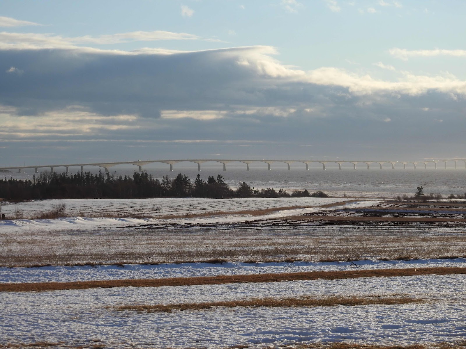
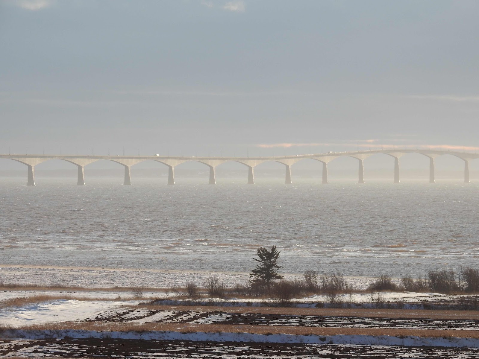
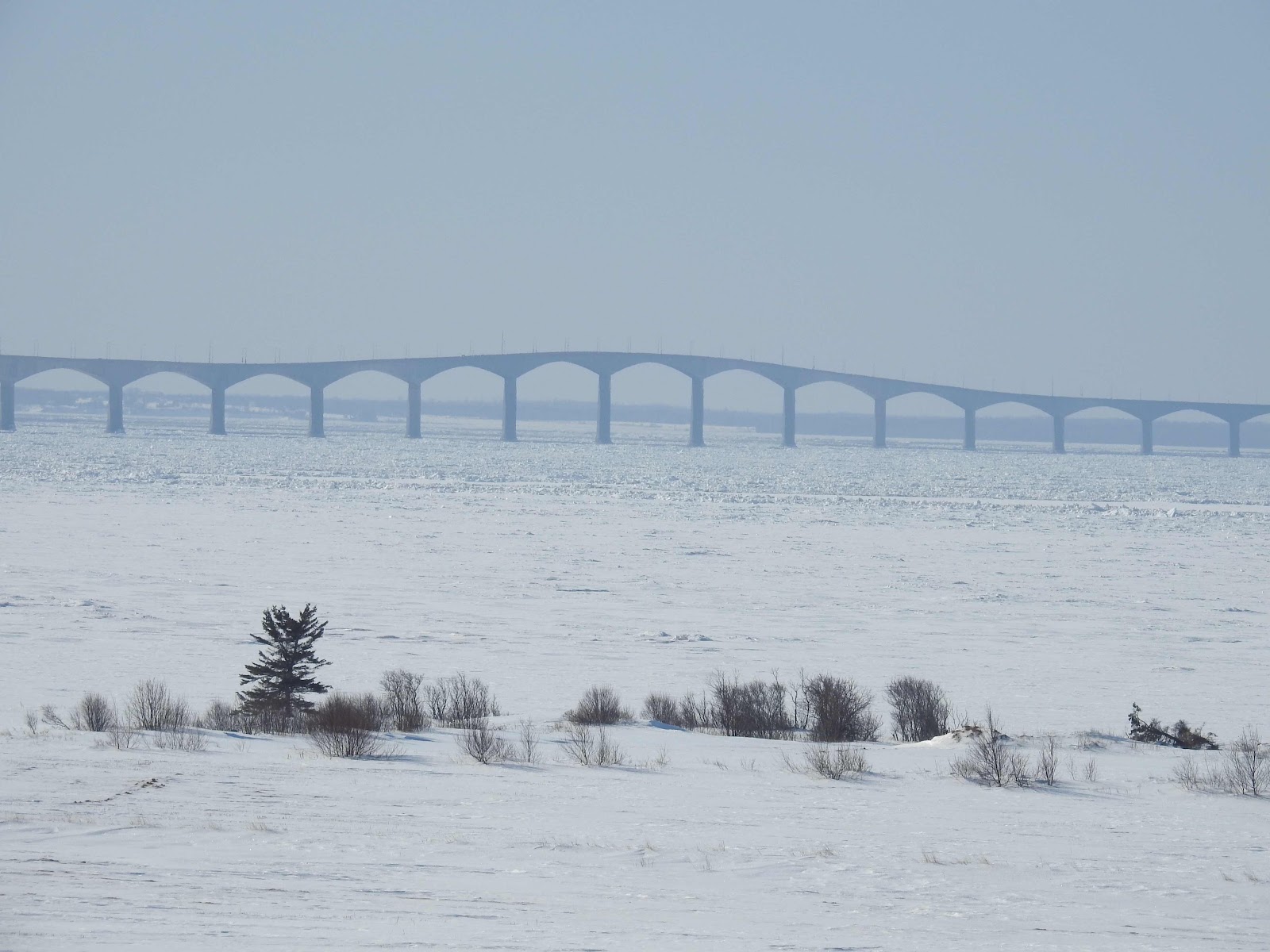
The bridge, located southeast of Summerside is visible from the boardwalk many days, when the weather permits.
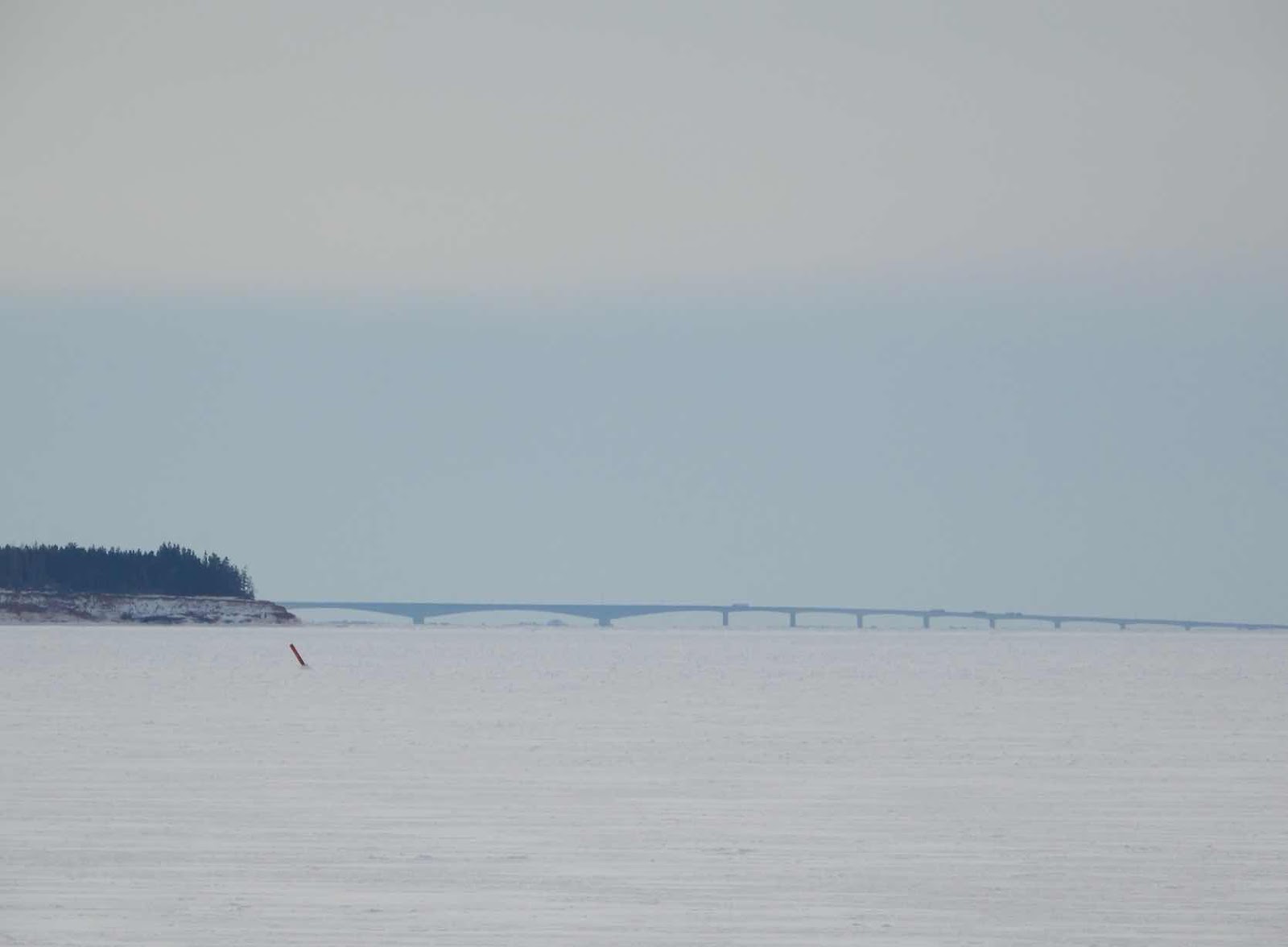


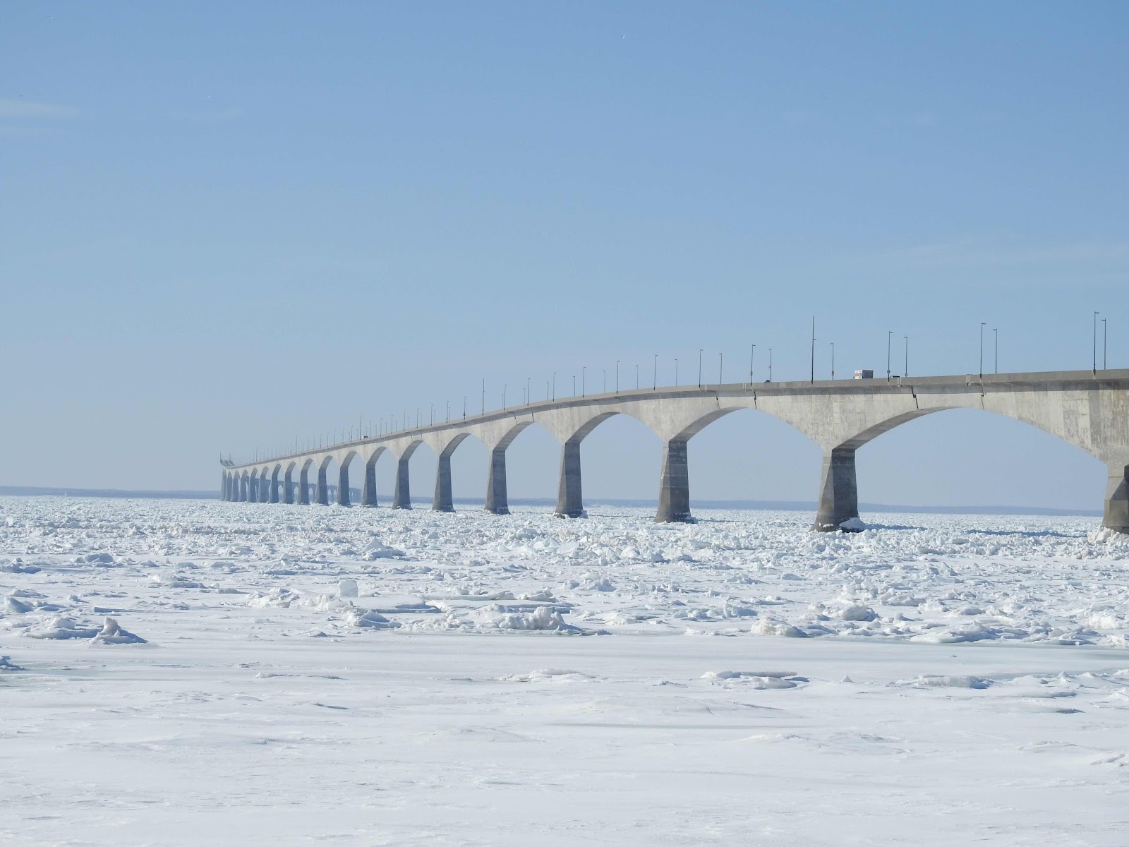
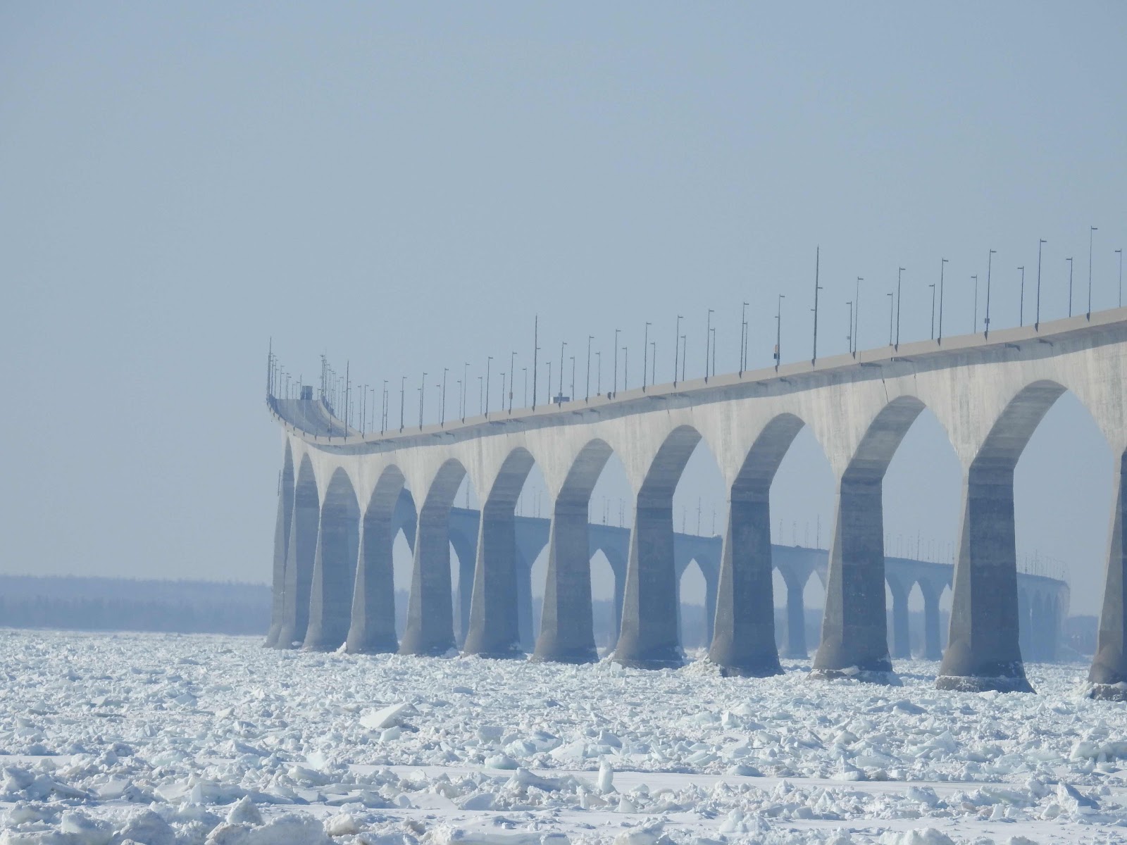
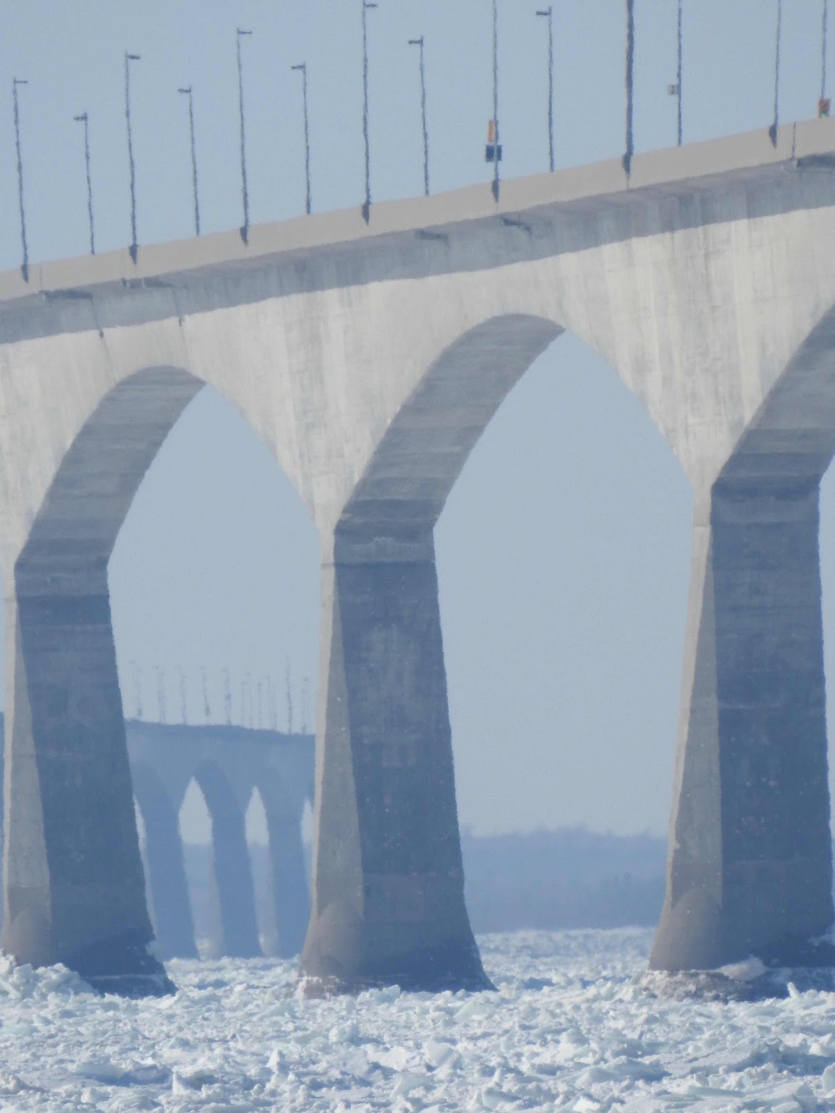
Now, when the Northumberland Strait between the island and the mainland is ice covered, my husband and I headed to Borden Carleton, to take some close-up photos of the bridge. The scene didn’t disappoint.


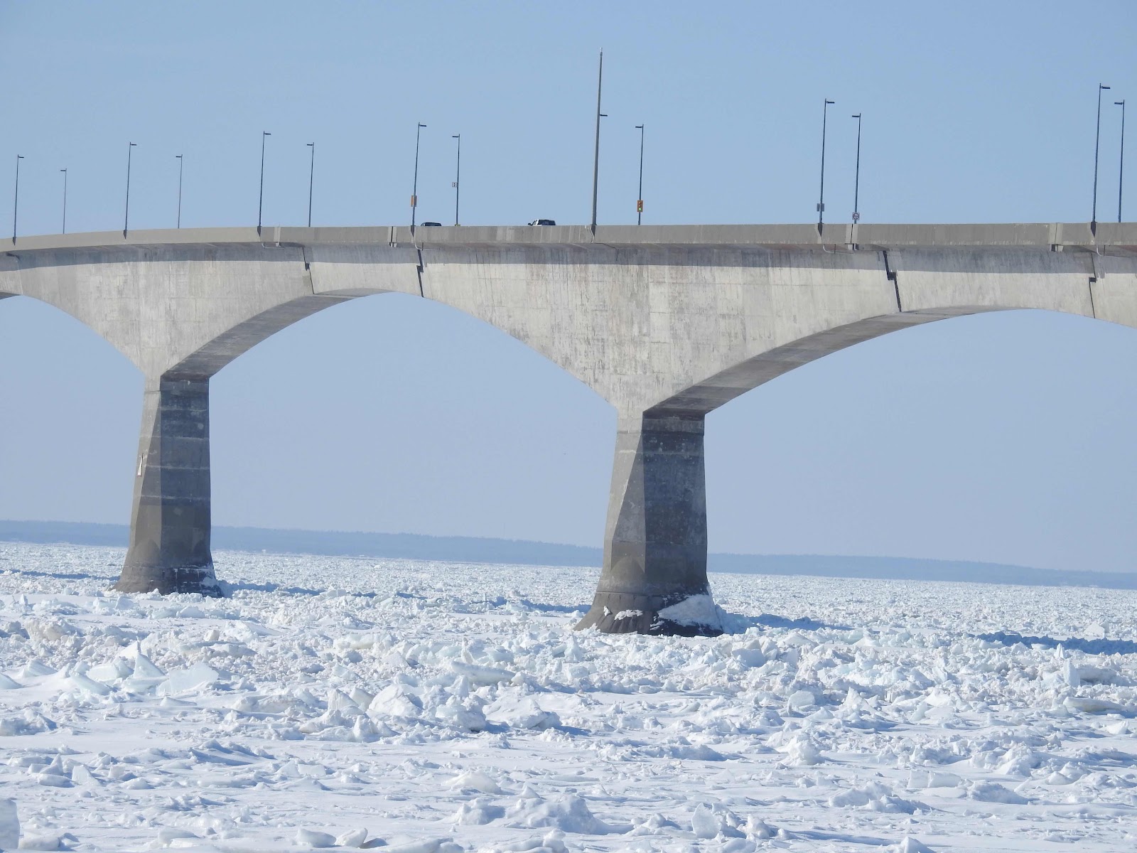
It was a busy weekday morning on the bridge with transport trucks bringing goods to the island. 


Islanders rely on mainland North America for most of their needs. The sunny day without high winds meant that traffic was flowing freely, unlike days with high winds when the bridge is closed to high-sided vehicles.


The ice offshore moves east with the current, and travels under the bridge as it flows. The bridge at 12.9 km or 8 miles is the longest bridge over ice covered water on the planet. Close to the shoreline, the ice is solid, not as affected by the current as you can see here at the wharf near the bridge 


and in Bedeque Bay in Summerside.


Along the way, we stopped at the Red Bridge to see the open water which flows into the mouth of Bedeque Bay. There were a few Canada Geese, Mallards, Mergansers and Black Ducks in the area, though more of the area was frozen this year than in recent years due to the bitterly cold weather we have had.


It is noteworthy that by this time next month, clocks will have sprung ahead and this is a short month. The increasing daylight lifts my spirits. We hope that more of our walking will be outdoors as the month progresses. Spring is just on the other side of that bridge and moving this way!


P.S.


We have had two major power outages on the western end of the island in the last few weeks, the second of which continues this morning. We have a generator to use so we’ve kept the fireplace on and are warm. It feels like -20 C this morning. We will have lots of company if this continues.
Wednesday, 30 November 2022

Southwest to the Cape

Autumn is a dual season with weather reminiscent of summer with that which heralds the beginning of winter. Before that change this autumn, our last day exploring the southwest shore of Prince Edward Island was a lovely adventure on a beautiful day.


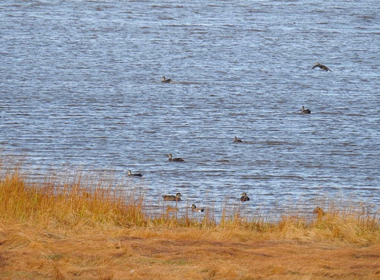
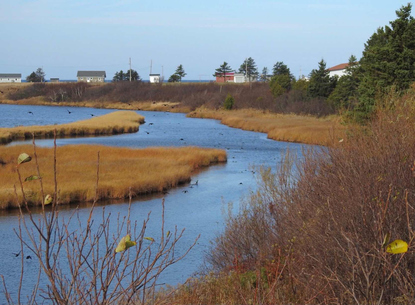
We drove along Route 14 towards Skinners Pond and spotted birds in a pond by the road. Of course we had to stop but it was a bad location for parking. We pulled in up the road and walked back to see them but of course the birds flew further up the pond. 


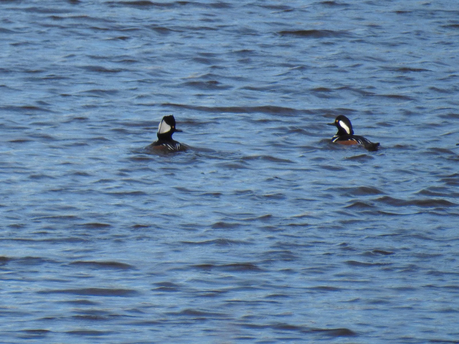
This pond was a wonderful find with the Hooded Mergansers 


and the American Wigeons in the foreground of this photo, neither of which I had seen before. The American Black Ducks are always an interesting find.


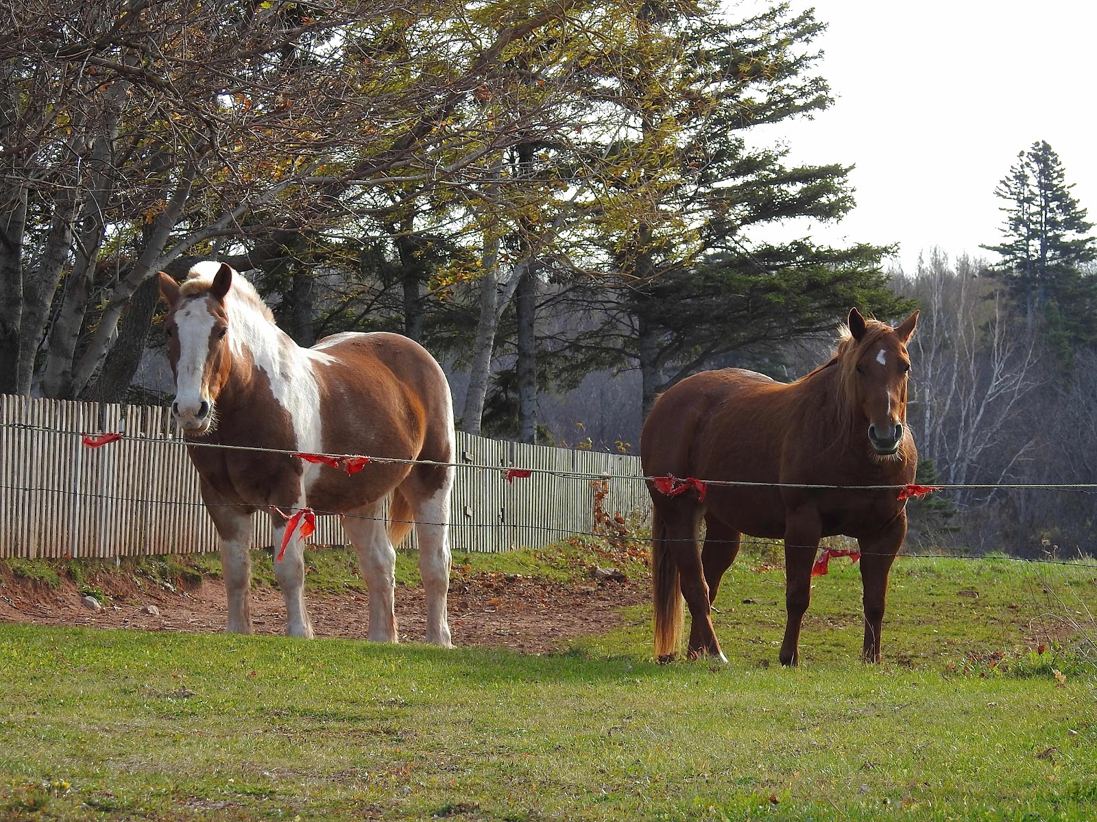
Meanwhile these two beautiful horses across the street came to the barrier to see the strangers looking at the birds. They wanted their photo taken too. Such curious creatures!


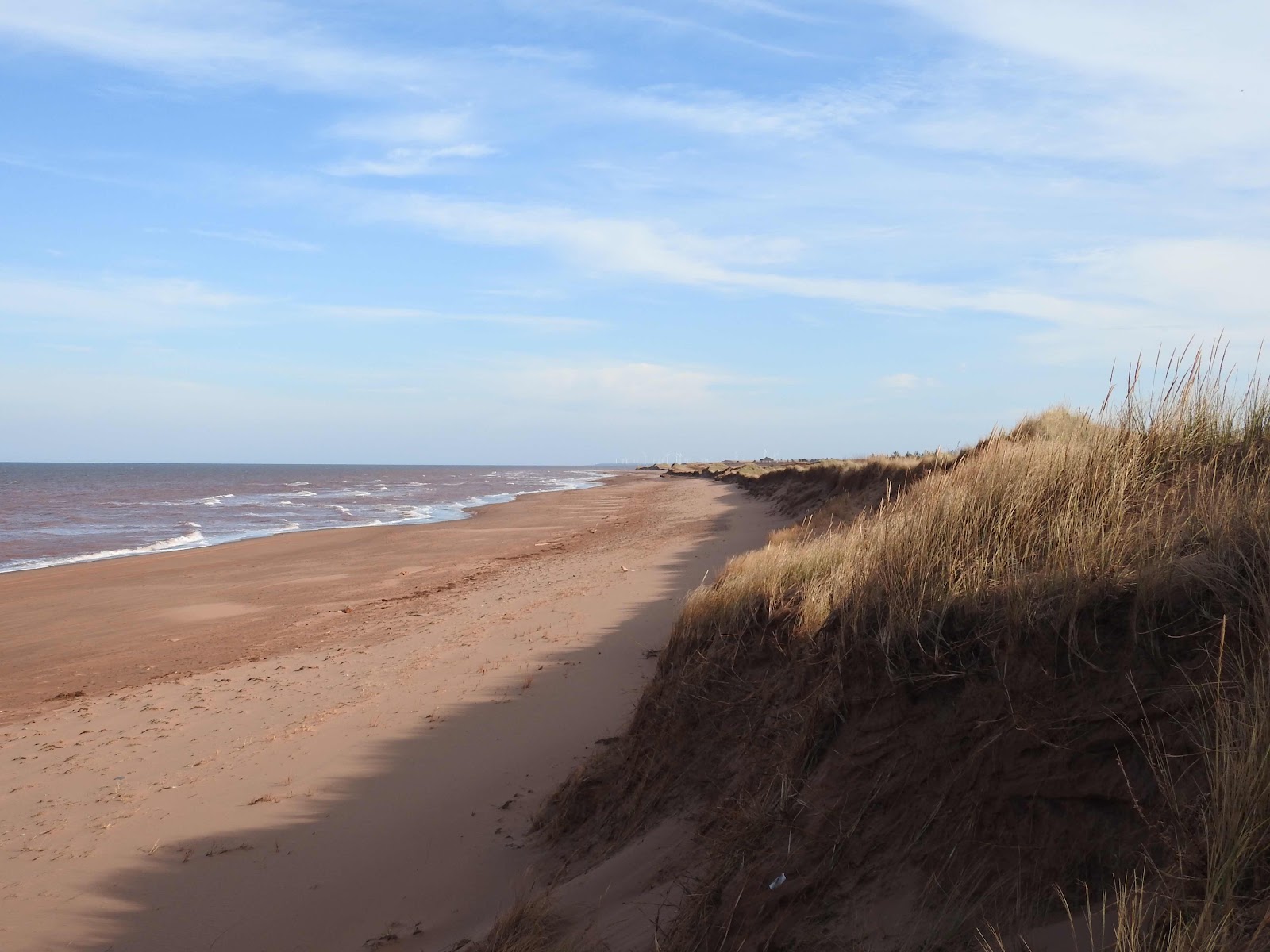
At Skinners Pond we walked the path to the beach, where the damage to the dunes in the distance was obvious. We later drove to Norway, Prince Edward Island, the site of the wind turbine farm hardly visible in the distance on the photo below.


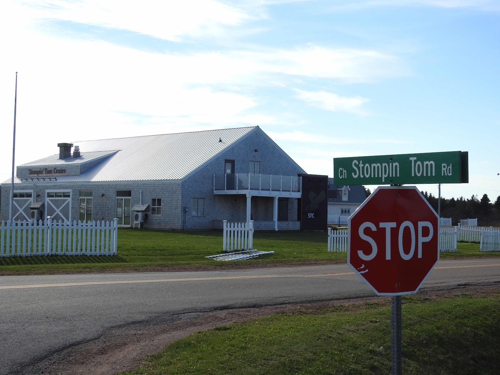
As we left Skinners Pond, we passed the Stompin’ Tom Centre where shows in the summer celebrate the life and music of the Canadian singer/songwriter. Tom spent part of his childhood at Skinners Pond. One of his most famous songs is Bud the Spud.


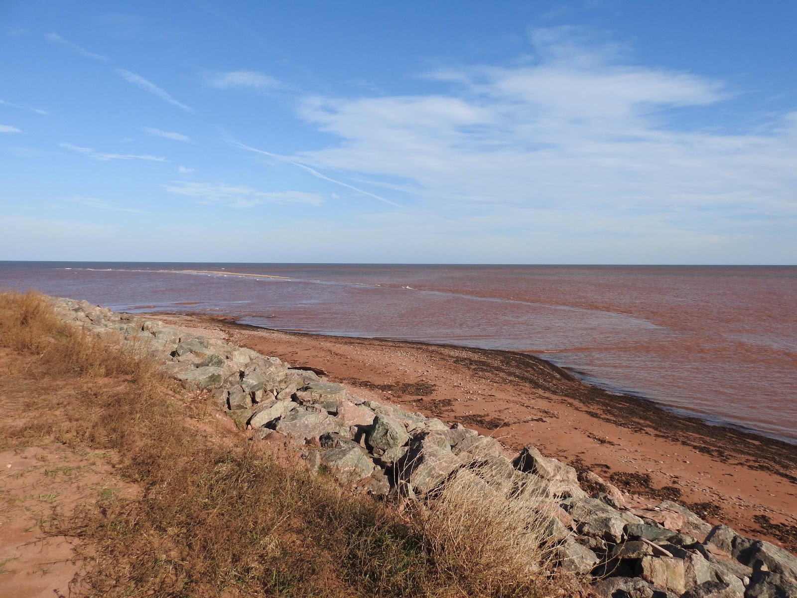
We eventually stopped at North Cape, at the western tip of the island. Here the waters of the Gulf of St. Lawrence meet the Northumberland Strait. That day, you could easily see where the waters meet. The Gulf waters are above the line which extends from the sandbar, water from the Strait is below.


On that sand bar, cormorants and gulls hang out together. It was late in the season for cormorants to be about. Most are gone to warmer climes much earlier.

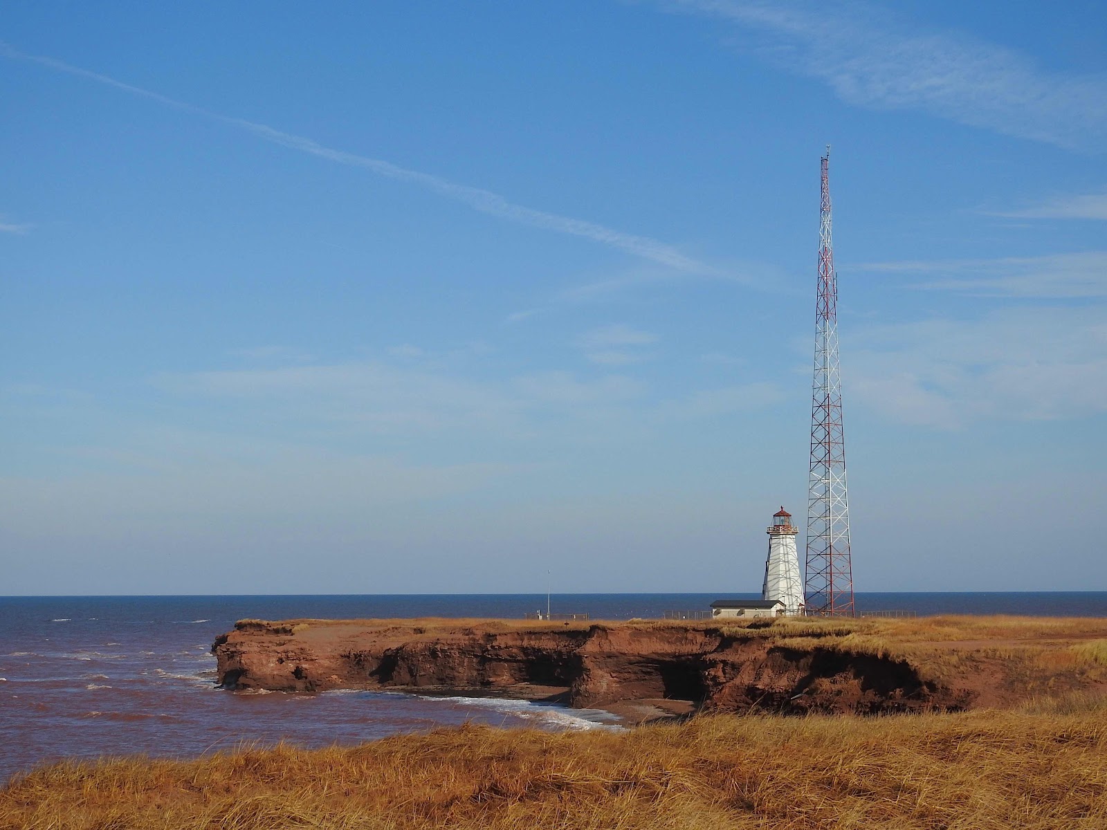
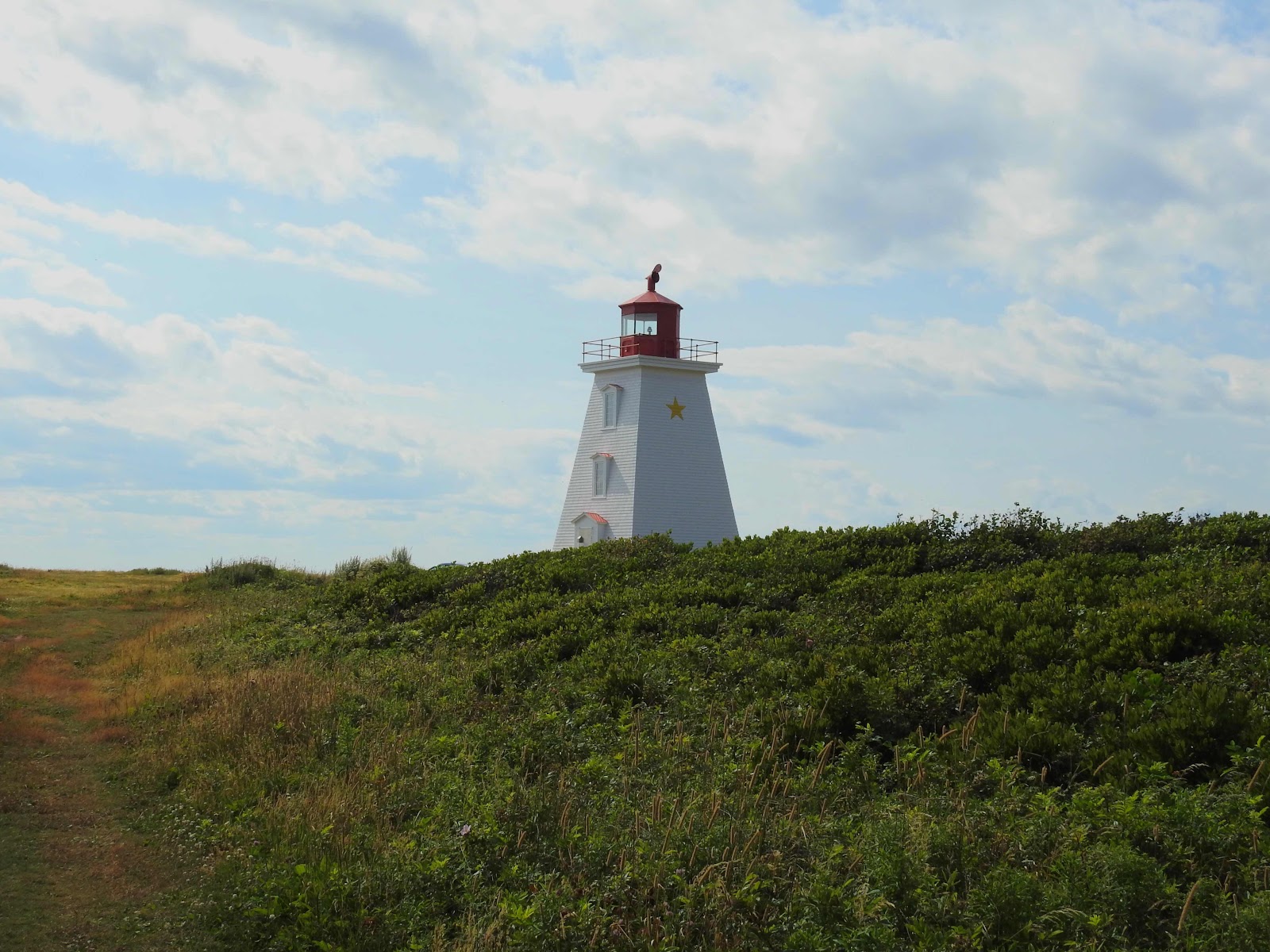
We had lunch near the start of the nature trail and had a good view of the lighthouse. 


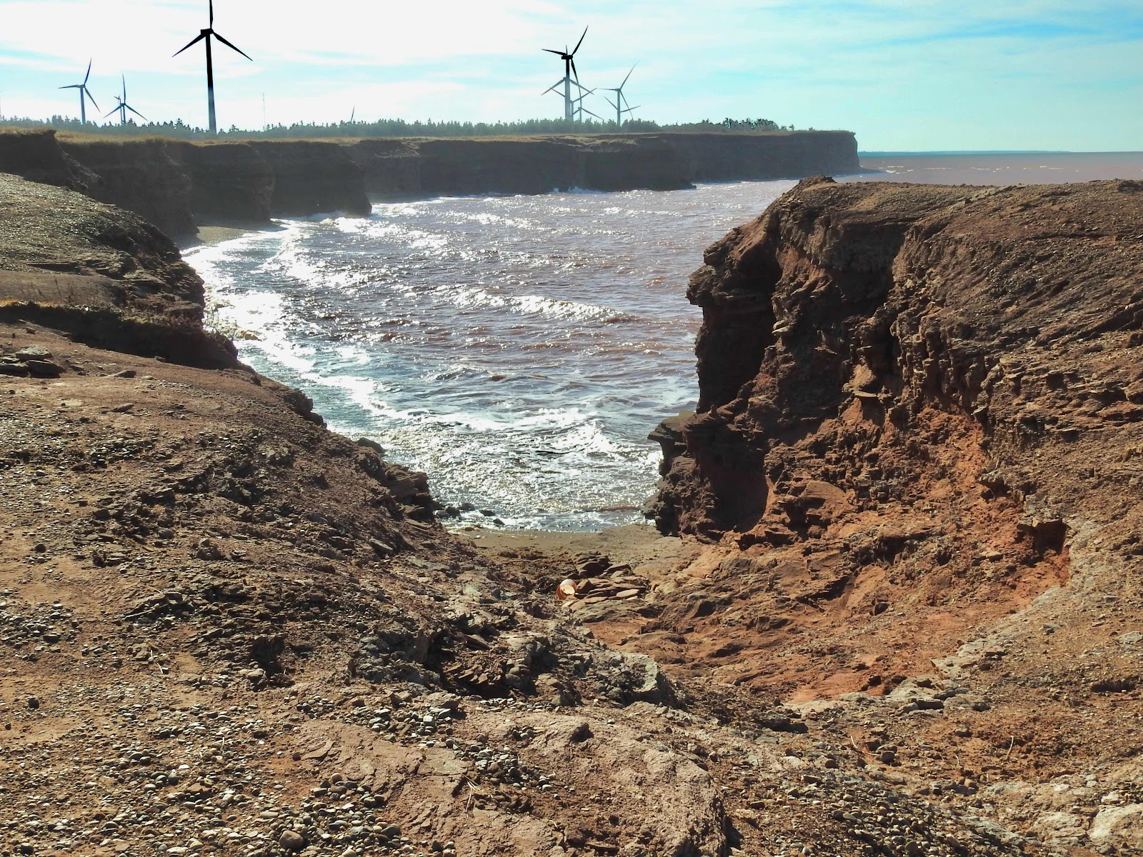
We walked along the coastline above the beach where a gully had eroded a great deal since our last visit, 


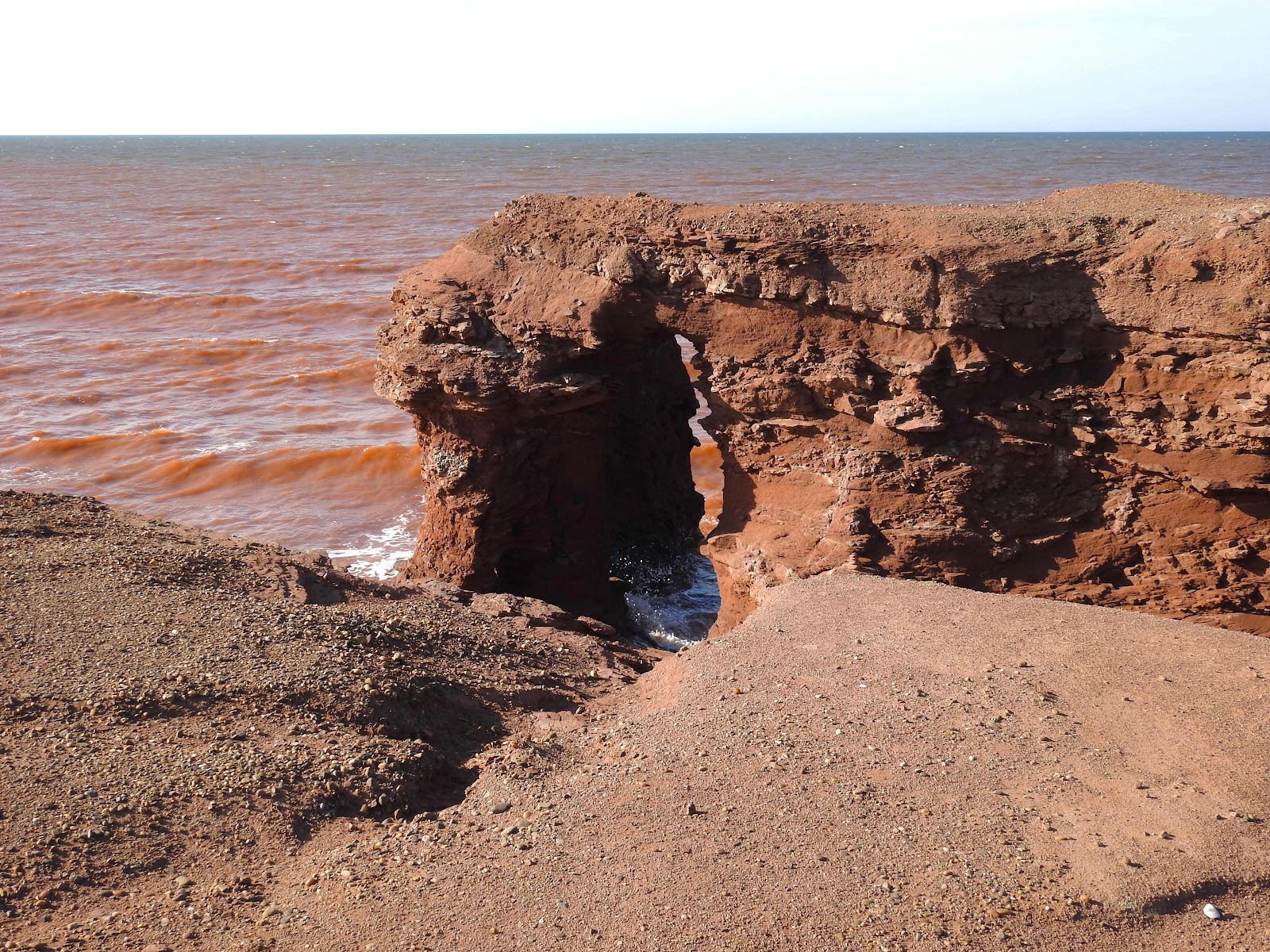
as had the sea arch, which could collapse any time.


On our next visit to North Cape, we will walk the trail to the sea stack near Norway. Our next excursion will be closer to home however.


Wednesday, 16 November 2022

Along the coast to West Point

It looks wild and untamed, an area of beach on Prince Edward Island left to nature. We’d headed to the southwest coast of the island to Brae Harbour and driven along the coastline from the small community over a dirt road. We passed a few off-grid cottages and eventually arrived at a place where we’d need an off-road vehicle to go further.


This is an exposed area of coastline along the Northumberland Strait. A sand bar off shore breaks the waves and the water looks like it is boiling. 


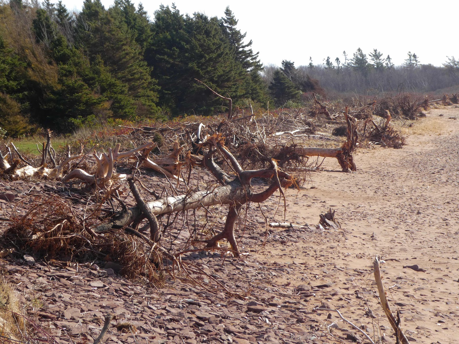
Sandy red sea rushes to shore. However, there aren’t any sand dunes along this shoreline. Trees, shrubs and other vegetation border the beach while driftwood in abundance shows how many trees have been claimed by the onslaught.


This area of coastline is without a village or even a cottage. It is a part of the island coastline we have rarely seen, without cliffs or dunes either. A cottage here would be risky, without a border between it and the sea.


During a walk along this beach, we crossed one familiar island feature, a brook crossing the beach, a small one we could easily jump over. Walking east, one could see homes or cottages kilometres away along the shoreline. One cannot imagine the same in this area.


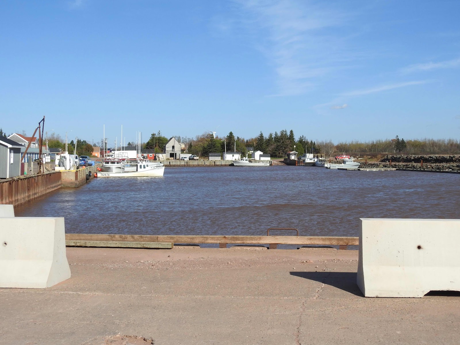
We returned to the main road and continued on to West Point. This area has been settled and like so many areas of the island, has a boat basin along the shoreline to offer protection to fishers, their boats and gear. 


There wasn’t much activity in the basin this time of year as fishing season was winding down. The ubiquitous sentinels of the sea, the cormorants, had one lone bird on duty that day, 


while along the breakwater side of the basin, others of the species commune with gulls and enjoy the autumn sun. 


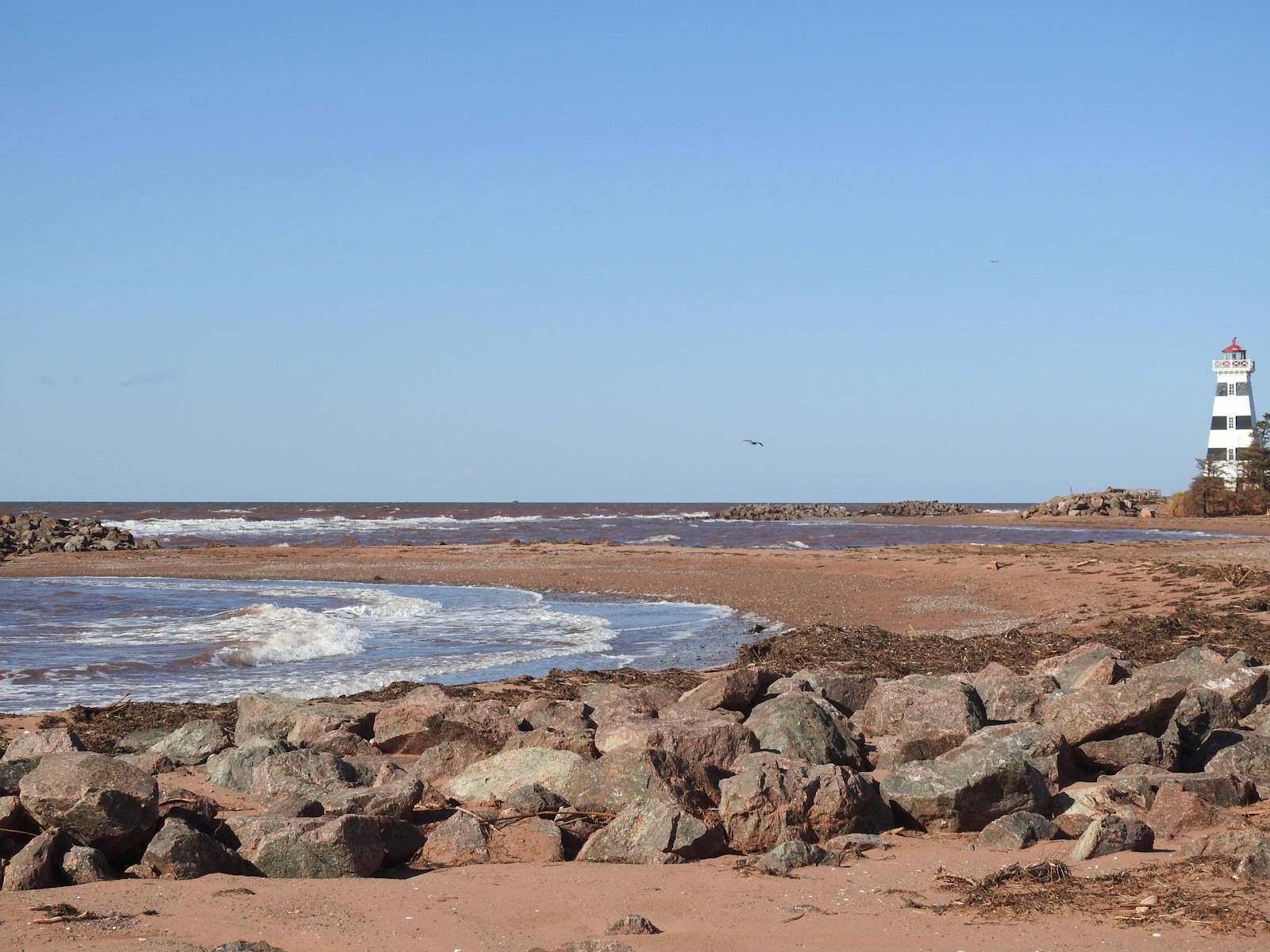
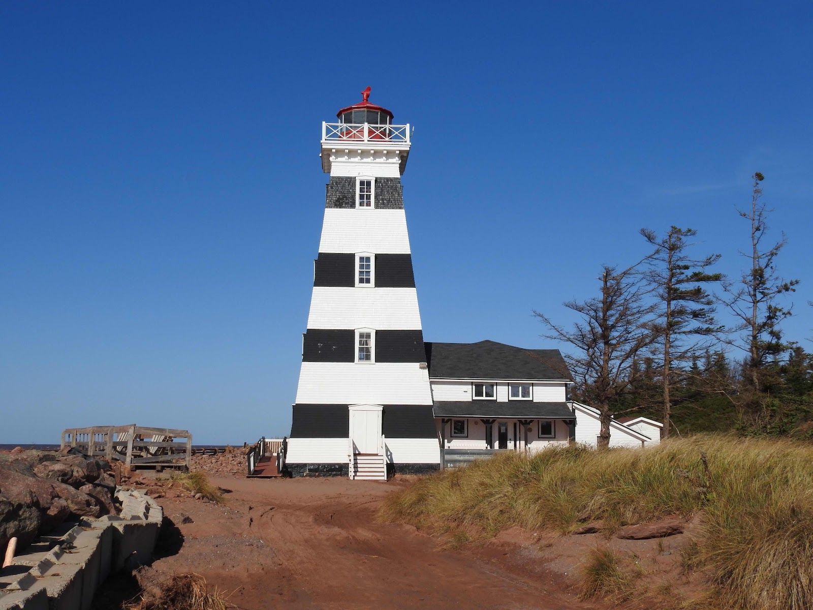
Damage in the basin walls allows one to look west towards the West Point Lighthouse, one that stands out among lighthouses on the island for its black and white striping. This area has received much damage over the last number of years and revetments along the shoreline and lighthouse are strategically placed so as to reduce the same in the future.


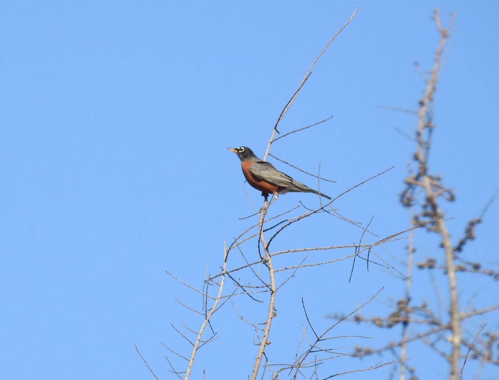
We had our favourite lunch of the autumn thus far, sheltered from the on-shore breeze at a picnic table at the park there. While we ate our delicious chicken stew, we watched the robins nearby 


and listened to the chickadees, our most vocal woodland bird of autumn, as they flitted among the trees around us. We watched with interest at what we thought initially to be a crow but later identified as a Turkey Vulture, an unusual bird for the island. It was a thrill to watch it circle the area for its food, animals which are already dead, such a road kill.


We walked through the park and along the shoreline after lunch before we headed home. Another great day exploring the island! 


Wednesday, 10 August 2022

A visit to the Cape

It was hot with the usual Prince Edward Island breeze making the temperature bearable. My husband and I drove along the French shore of the island, just west of Summerside, with the windows open, the breeze flowing through the car as we enjoyed the sea view. We were headed to Cape Egmont.


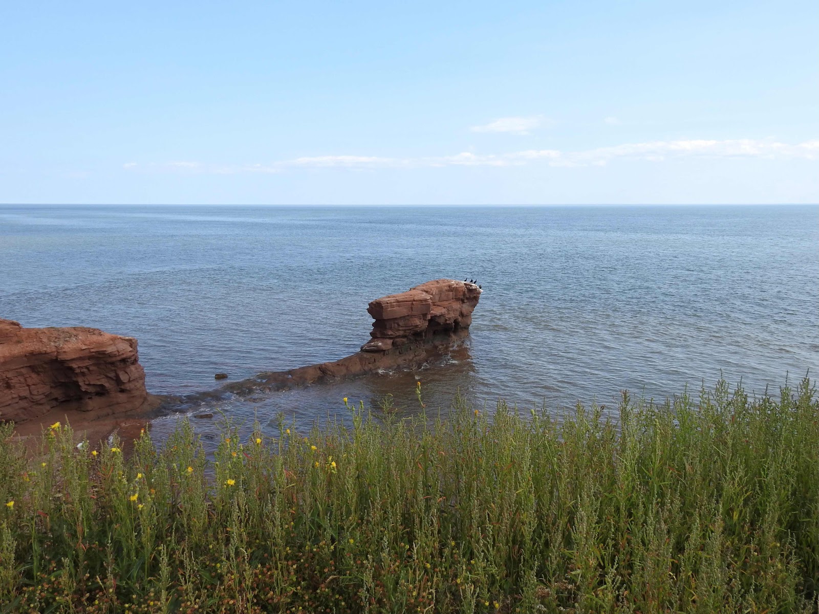
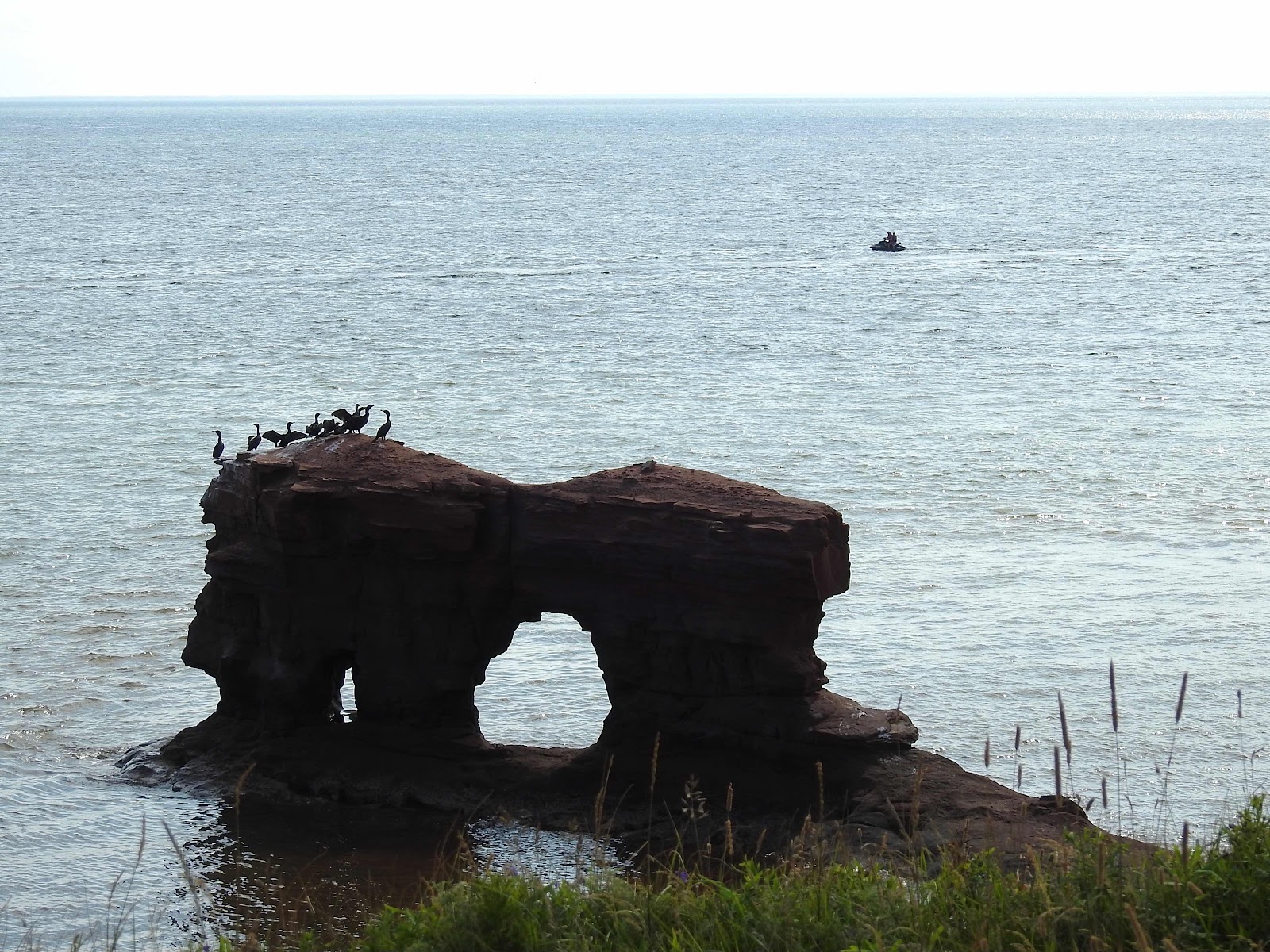
The Cape is a headland jutting into the Northumberland Strait and just off-shore, attached to the shoreline via a stoney umbilical cord,


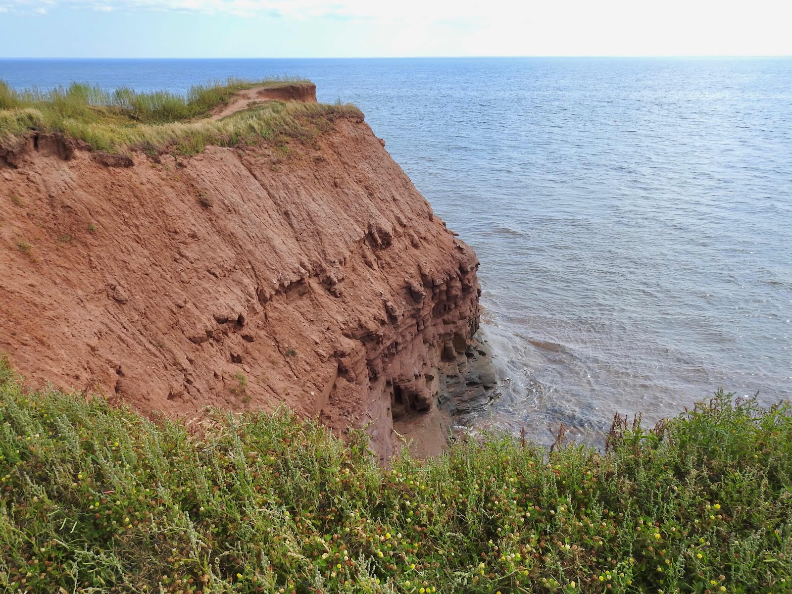
a sea stack is visible below the cliff. The red sandstone in this area has a thick layer of soil above which is easily eroded. 


The stone takes a bit longer.


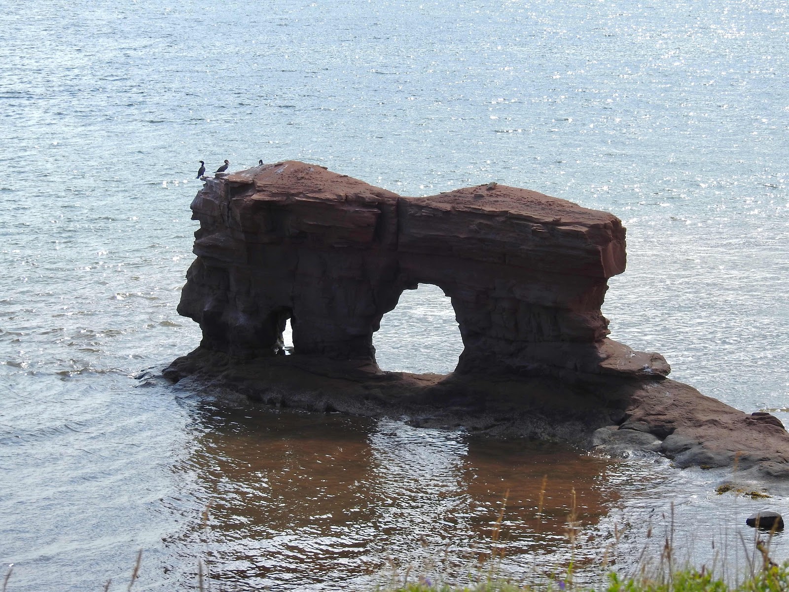
The sea stack has two holes these days, a larger one on the landward side. 


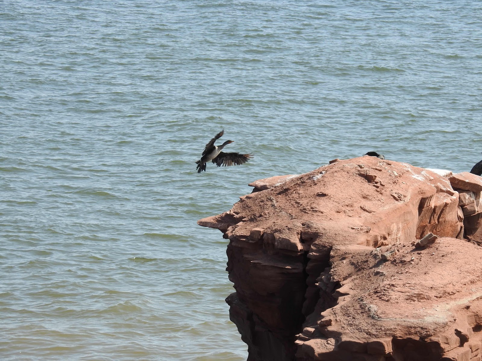
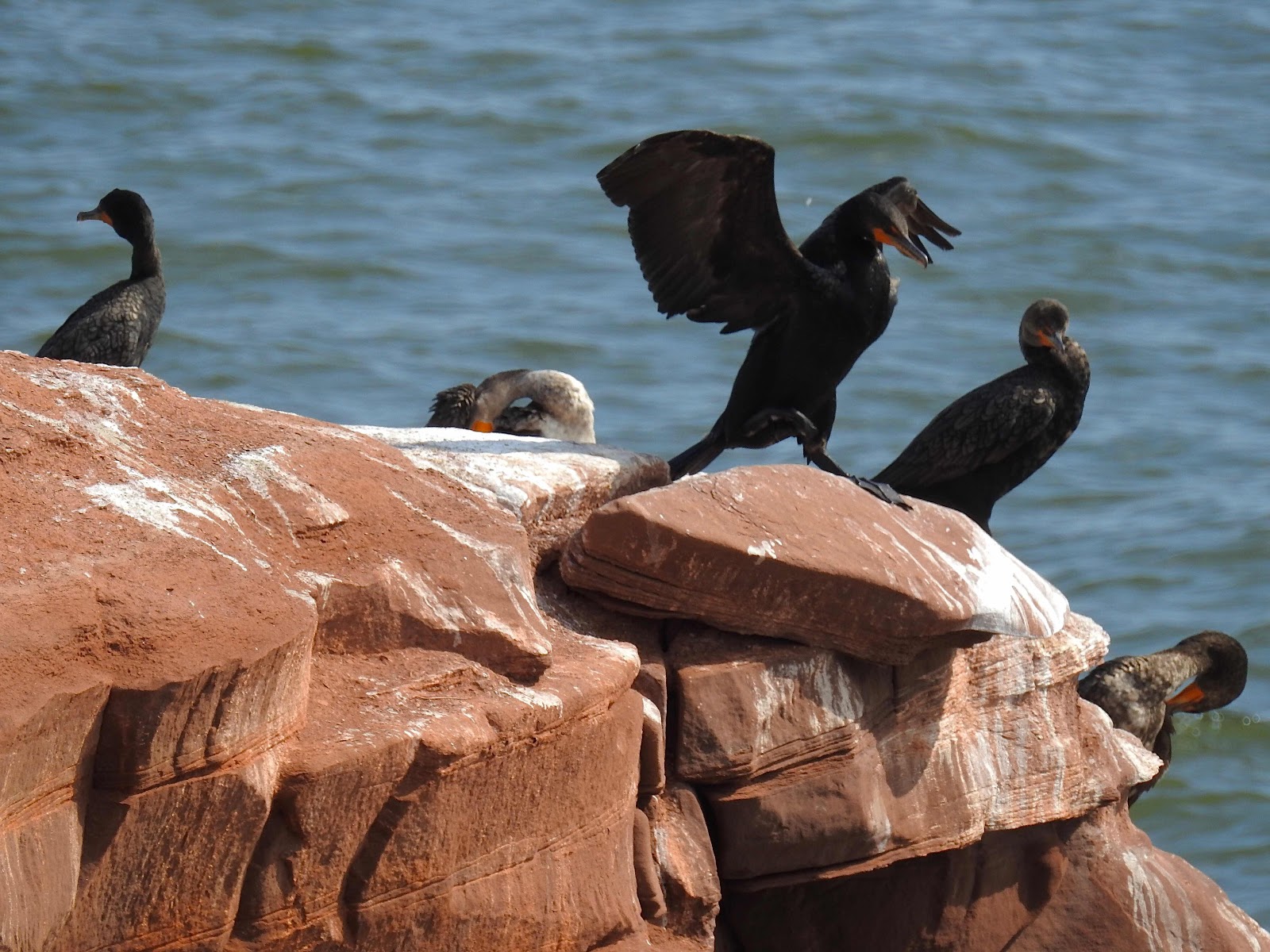
Above is a great perch for birds, especially cormorants on this particular day. One with damaged feathers makes a curious sight as it approaches for a landing. 


Some on the perch dry normal looking wings in the breeze.


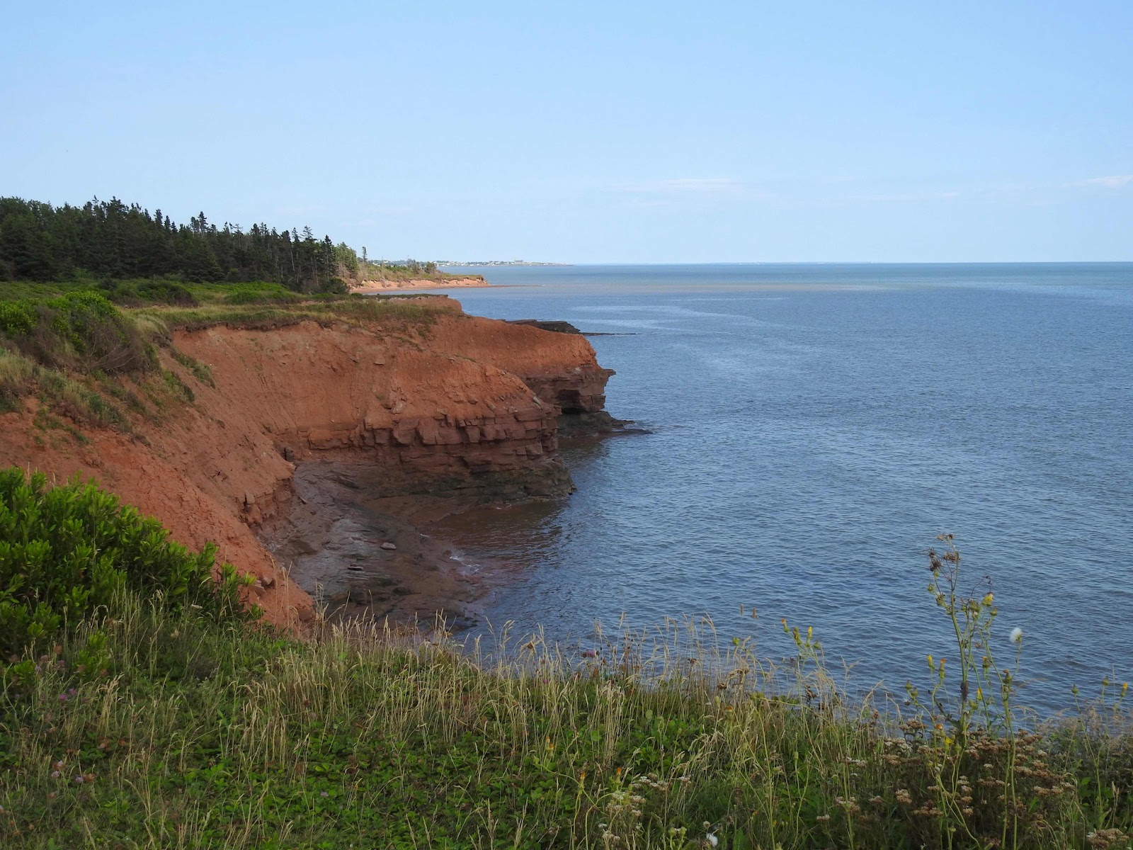
Walking along the headland, one can look east along the coastline as far as Union Corner. 


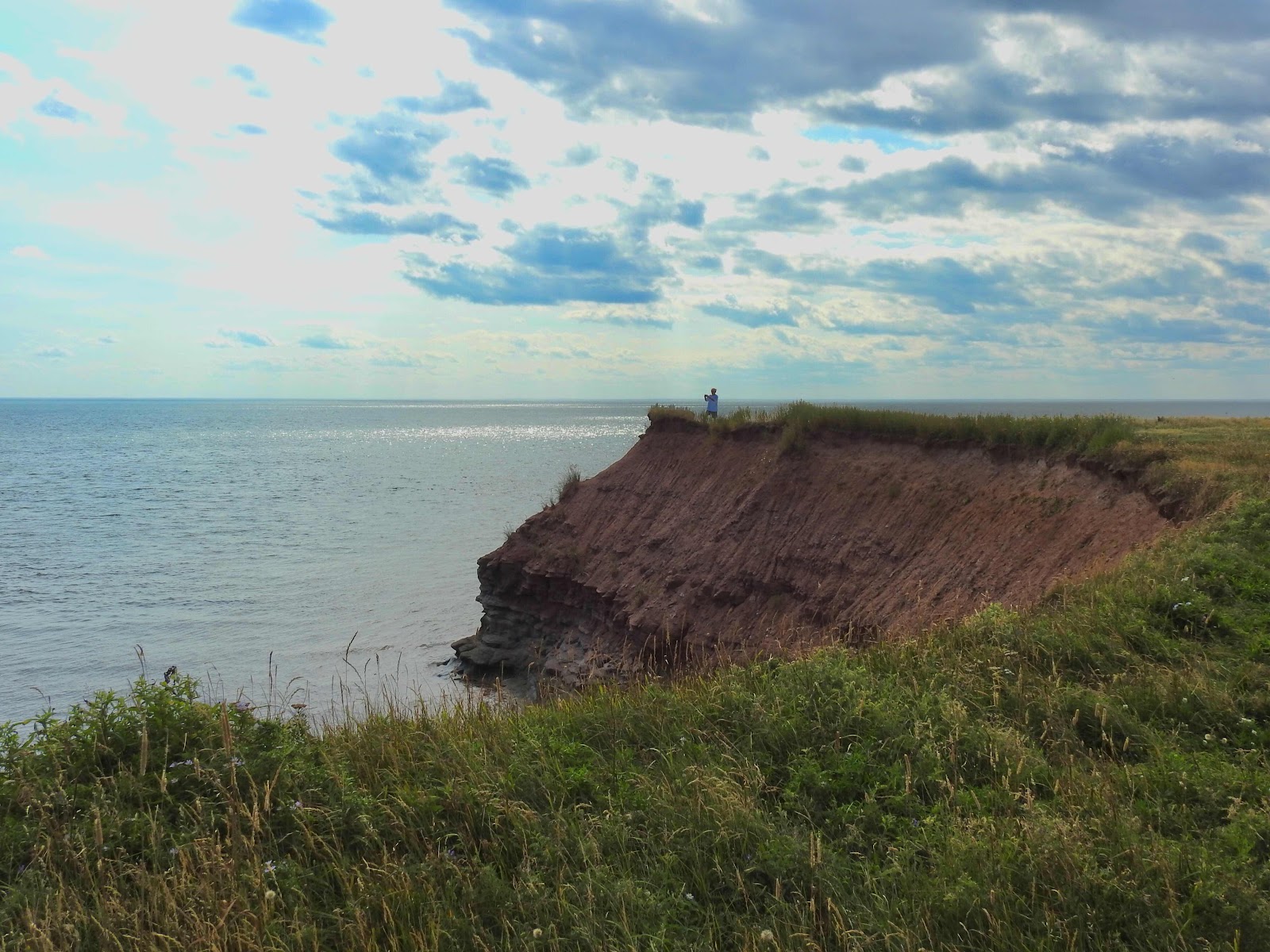
Looking west, there is my husband on the narrow strip of land opposite the sea stack taking photos.


I could not stand in that narrow place myself and cannot watch my husband there. Instead I focus on the lighthouse and beyond, 


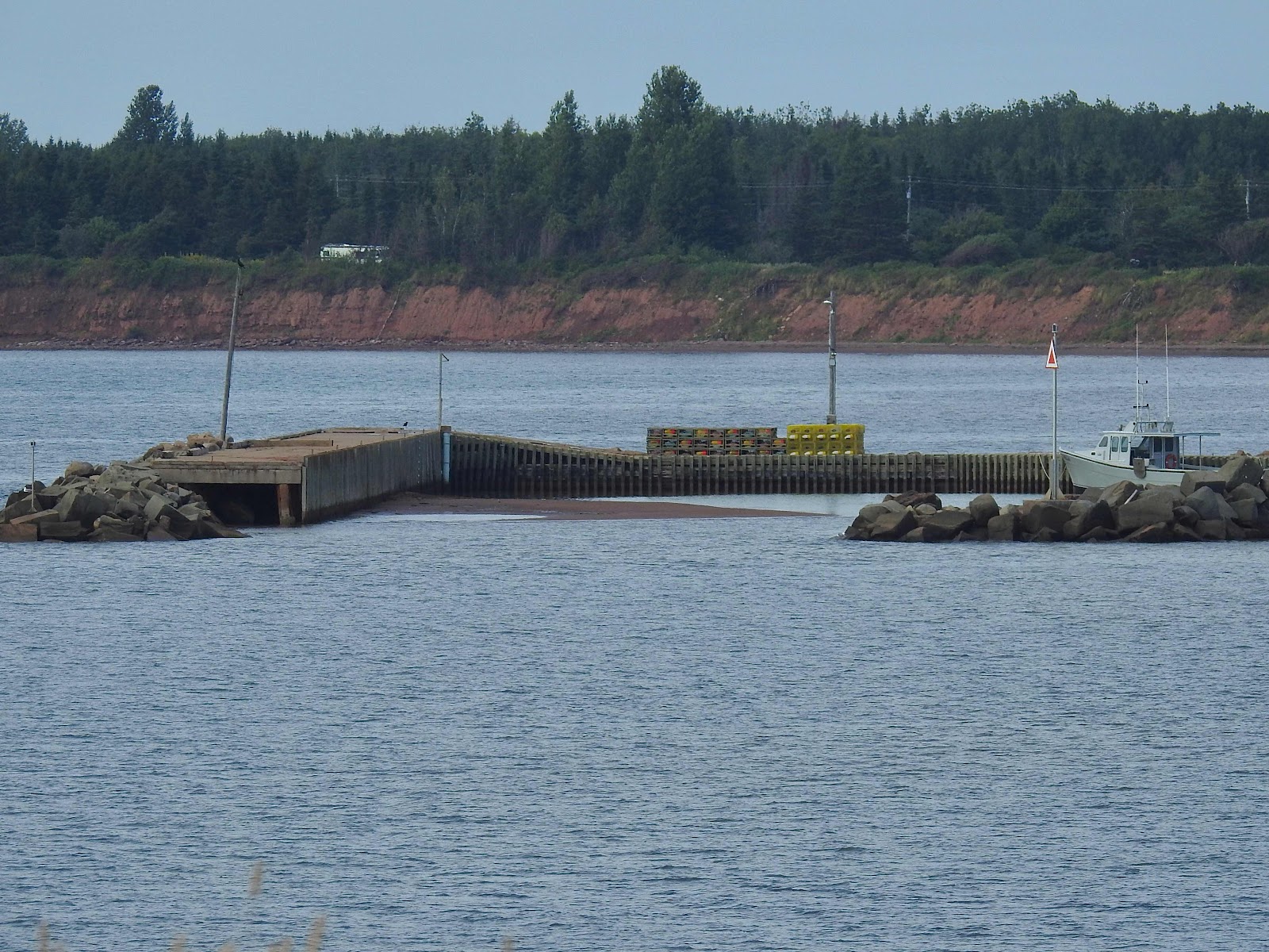
the wharf where lobster boats leave today as the second lobster season begins on the island.


Off-shore, jet skis or sea-doos zip along the coastline. They always remind me of snowmobiles, a common sight in winter in Canada. These summer versions don’t require as much clothing.


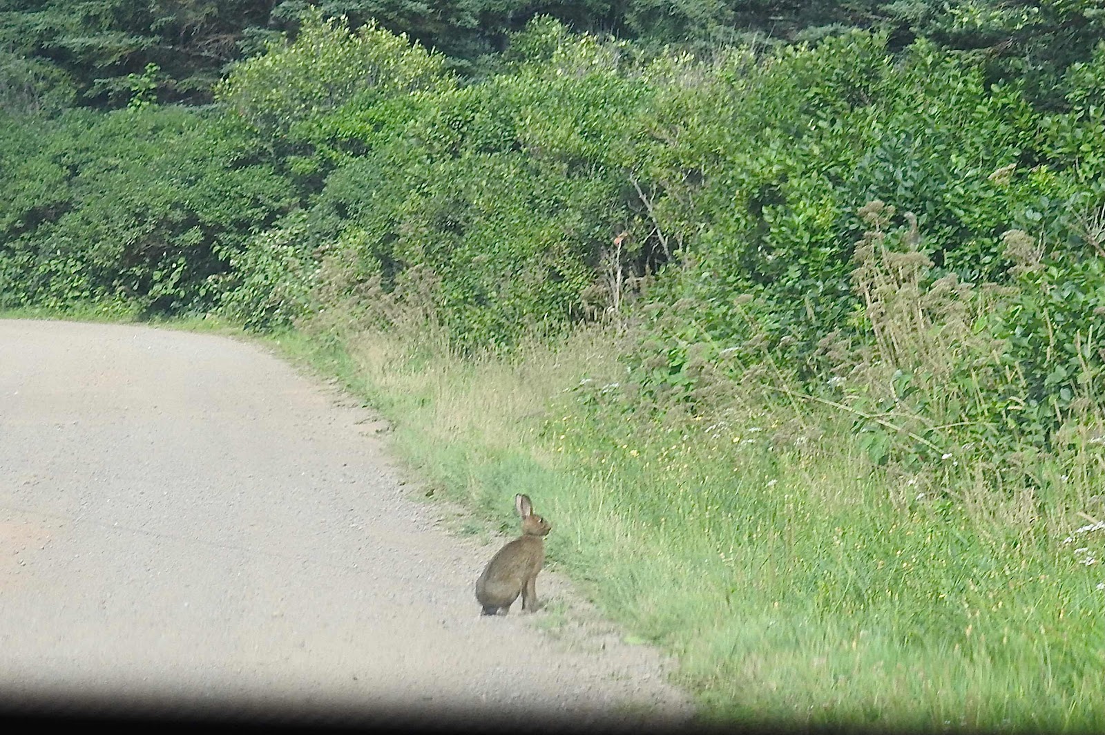
Leaving the Cape, we saw a hare crossing the road. I had to settle for a photo through the car window.


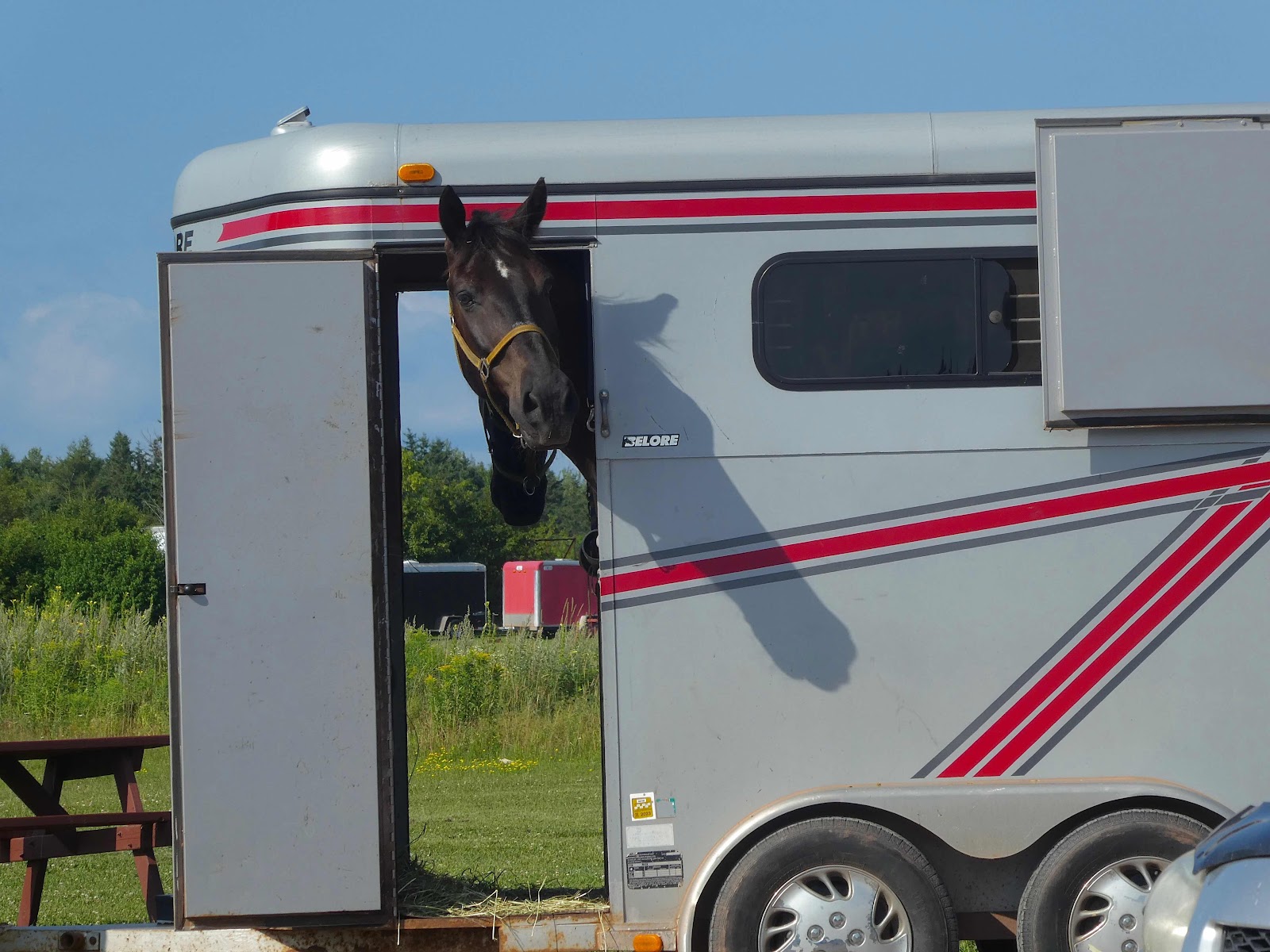
On that hot Sunday afternoon, on the way home we stopped for ice cream at a dairy bar in the area. A horse watched from its trailer as the driver lined up to order. The horse wants some too!


P. S.


Bloggers, 


Are blogs you once followed not appearing on your blog feed any longer though you haven’t made any changes and those blogs are still active? Is there a fix for it?


Sunday, 26 September 2021

Out of the blue

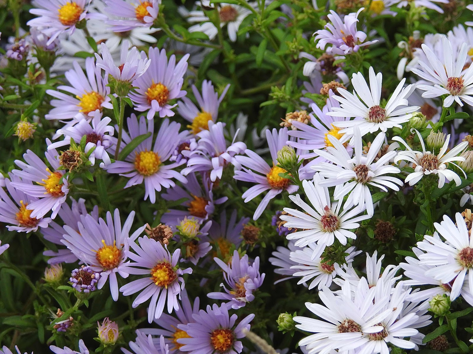
This past Friday was a  hot and humid day but strangely enough there was hardly a ripple on the bay. Our island breeze, which ushers us through the heat of summer was noticeably absent. Meanwhile, along the hedgerows, asters added a touch of colour to the burgeoning rusts of autumn. 


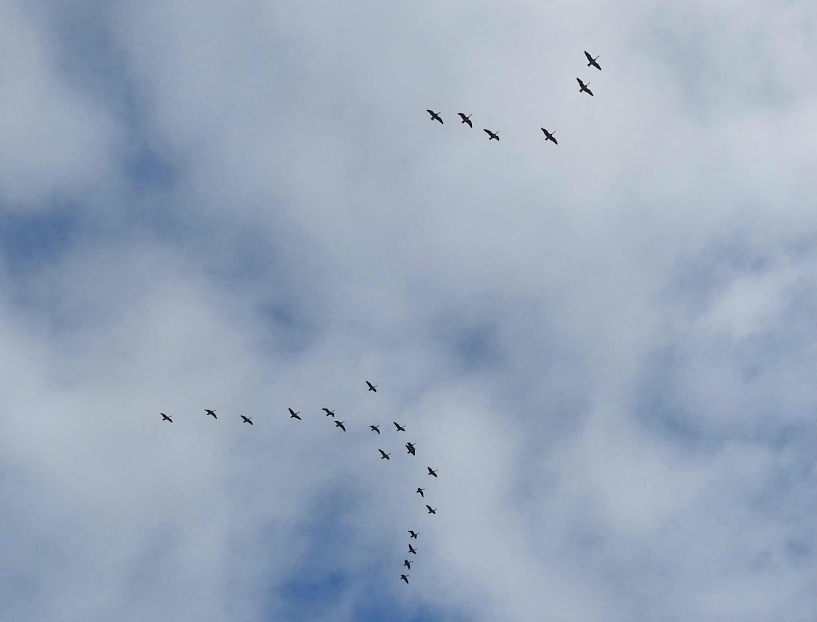
Overhead, it looked like young geese might have been in training for formation flying which will take them soon to warmer climes. It was a perfect day along the boardwalk.
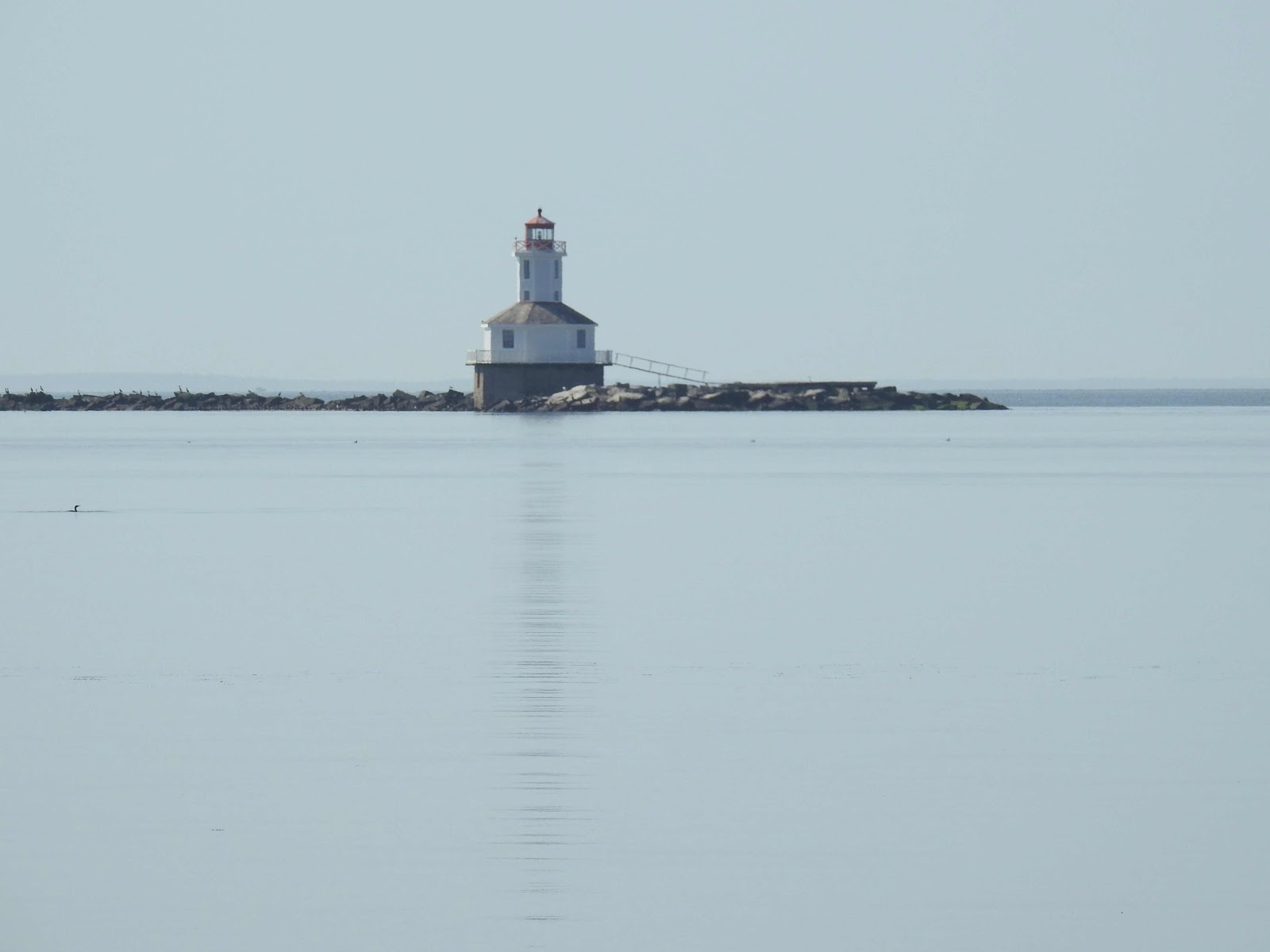


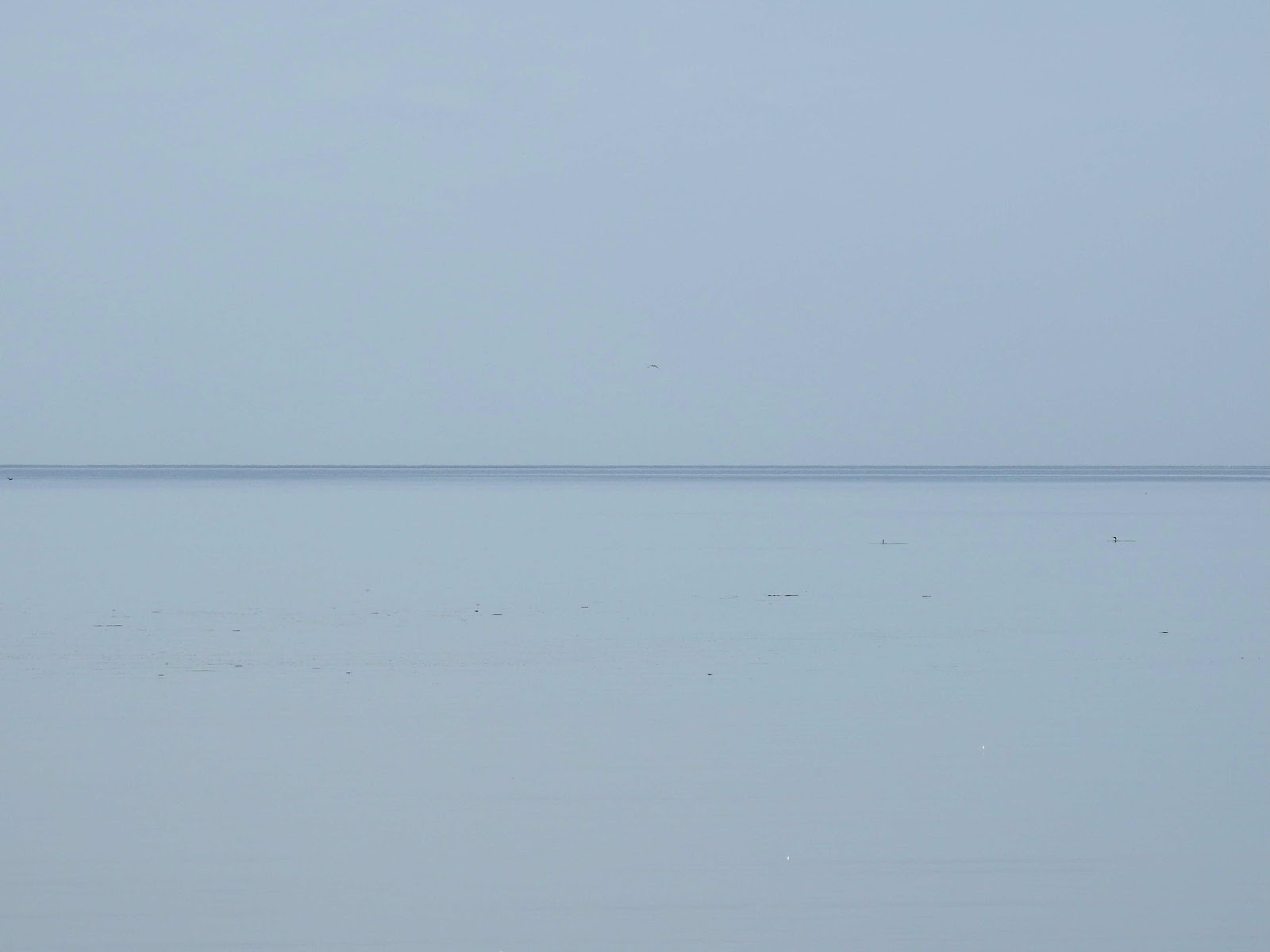
The bay is always a centre of attention too. Sea and sky, often dramatic partners, were strangely monotone that day and blended into one, except for a dark blue line which divided the lighter blue of sea and sky.


Curious…


Walking back the way we came, my husband and I faced south towards the Northumberland Strait and the blue line looked to be advancing.


Soon it was just beyond the breakwater, the lighthouse a lonely sentinel between it and us. 
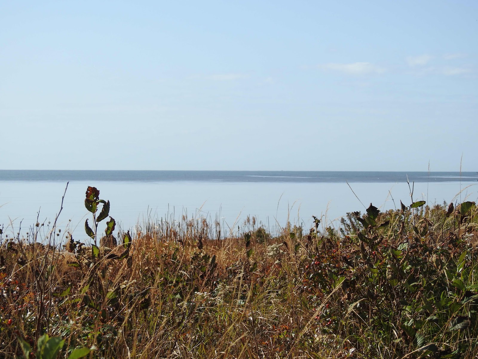


On we walked behind some trees along the bay and when we looked again, the blue line was advancing toward shore. 
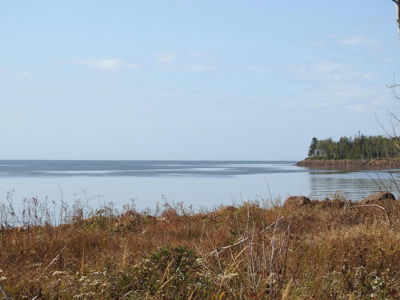


Then we felt it, the breeze from the south which had winged its way across the Strait to the island, kissing the surface of the water as it travelled. The ripples to the shoreline increased with the breeze. By the time we arrived at the car, dark blue had over-taken the bay.


In the stillness of an autumn day, we watched the advancing breeze long before we felt it. It was a welcome arrival.


P. S.


Do you notice anything unusual about the top group of geese in the second photo? 


Thursday, 5 March 2020

Out of the ice

My usual poetry is rhyming verse for the grandkids. They love scavenger hunts and I write the rhyming clues which result in giggles and scurrying. Inspired by the Confederation Bridge, I wrote this poem about my winter experience of the bridge. No rhymes involved.


It rises out of the ice and snow


Which blankets the Northumberland Strait...


Thirteen kilometres of defiance.


Ingenuity and design determined


How to span the distance


And withstand nature’s icy breath.


We stand and watch as vehicles


Traverse the distance on this winter day...


Concrete defying winter’s embrace.


Arches are reminiscent of Roman aqueducts,


But traffic flows here above the water


As sons and daughters come home to visit.


Economics keeps traffic moving too 


Though nature can stop everything


When the weather dictates.


Soon ships will travel through the arches.


Then tourists will join the regular traffic


As those who watch continue to marvel at its beauty.


Tuesday, 25 February 2020

Seven weeks of winter

On the second day of 2020, I drove to Seven Mile Bay and took some photos of the Confederation Bridge. It was a day with cloudy periods and the sun was within an hour of setting. The sunlight played on the bridge when it periodically broke through the clouds.


The Northumberland Strait was not frozen at that point, as it wouldn’t be for a few more weeks. 


However, there was ice along the shoreline and the countryside was beginning to accumulate snow in places.


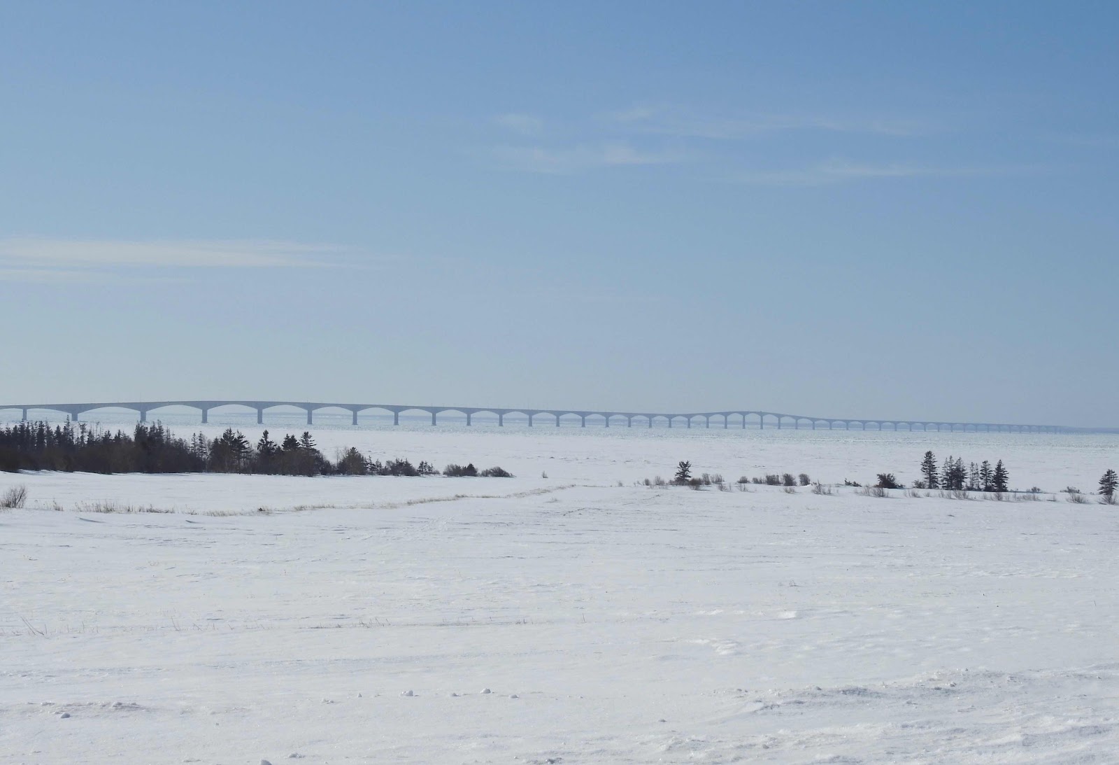
Now in the last week in February, the scene looks different.  The convergence of land and sea is complete and the frozen, snow covered land appears to continue around the bridge and beyond. 


One might be tempted to walk out there but the ice in the strait is choppy because of the wave action. This is not a place for an ice highway.


Milder weather this week will melt some of this ice and make it less stable than it already is. However, with so much ice along the south coast, it is cold along the coastline even on a day with the temperature above zero.


It is easy to complain about these conditions but they are part of the history and culture of this place. Those of us who have come to call this island home, have come to understand its significance and enjoy it while it lasts.