Most Popular Post

Showing posts with label wind farm. Show all posts

Thursday, 7 May 2020

North Cape

On our recent visit to Tignish Shore, we continued several kilometres northwest to North Cape, the north western tip of Prince Edward Island where we haven’t been for a few years. A trail there runs along the coastline with vegetation which survives the icy salt sea spray. Since we had already walked the beach, we decided to have our picnic near the trail to enjoy the setting. We’ll visit again to walk the trail.
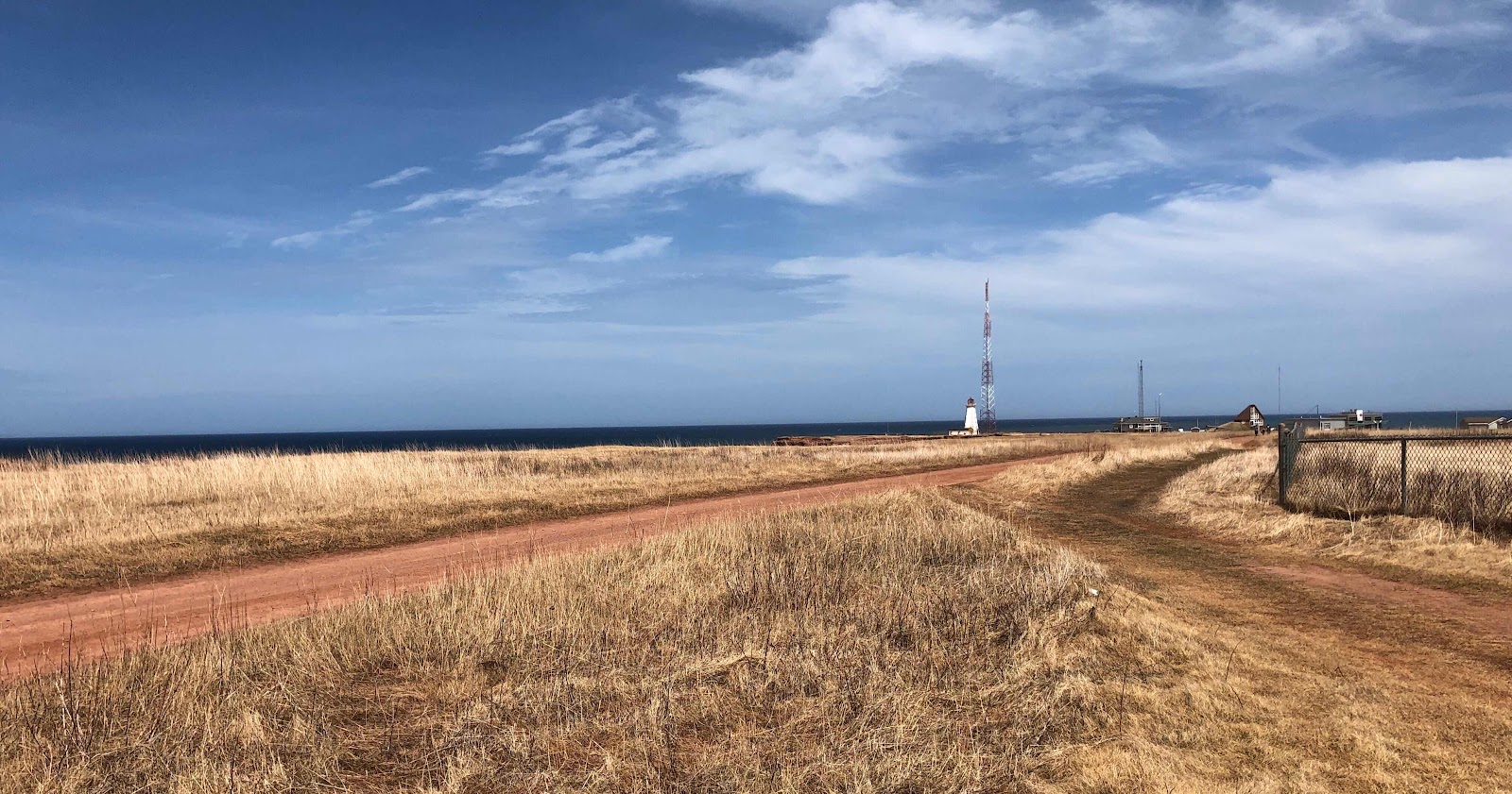


There is a wind farm at North Cape and we could hear the turbines as we set up for our first picnic for the year. The wind was cold however so we used the car as a windbreak. We enjoyed a leisurely lunch and a cup of tea has never tasted so good for flavour and warmth.
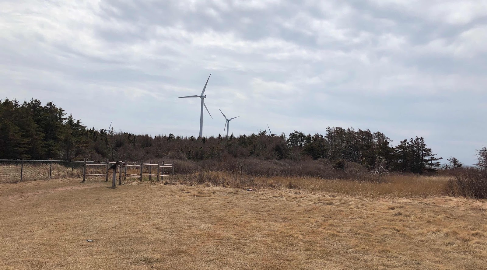


I like to live in the moment but having lived in freedom our entire lives, it was easy to take for granted our ability to experience those moments when and where we wish. The immense pleasure of a picnic in a place of our choosing has a whole new level of appreciation. This and so much more can be taken away by an invisible enemy with just one breath. 


Monday, 24 April 2017

The cliffs of North Cape

Our walk along the coastal portion of the Black Marsh Trail of North Cape gives a view of the cliffs in the shadow of the wind turbines.


The cliffs are ten to fifteen meters above sea level and red due to the coating of hematite, iron oxide, on the granules in the stone.


The erosion of Appalachian Mountains is the source of this sandstone. Water carried the sand, silt and rocks from the Appalachians into the Maritime Basin three hundred million years ago where it accumulated, hardened and became Prince Edward Island and parts of the other Atlantic provinces of Canada. The cliffs have a conglomerate of pebbles held together by natural cement, siltstone and the sandstone. 


This redbed, as it is known locally, is very susceptible to erosion. It is curious that erosion was part of the process which formed PEI and erosion is wearing it away again. 


Sea stacks are common around the island and there is one visible along the trail. 


Called Elephant Rock, we see it in the distance as we walk along the coastline. Erosion has changed it too.


After the winter, fencing along the top of the cliffs is hanging over the edge in two locations. 


The trail has been redirected in several places already.


Work will have to be done on the trail before tourist season begins, so we are careful where we step today.


At the end of the boardwalk, by Elephant Rock, 


a road goes down to the shoreline. Irish moss harvesters will access the shoreline to collect the red algae for carrageenan, used commercially for its gelling and thickening properties. The road needs some repairs as well. We do not venture there today.


It is cold today, unlike our visit to the Cape two days previously. We dressed for the weather however and even had a picnic, warming ourselves with the hot tea. We planned our next adventure as we watched the birds gliding on the breeze.


Friday, 14 April 2017

North Cape

The first picnic of the year was long overdue. My husband and I waited patiently for the temperature to rise to 10 degrees C, 50 F, without much wind and the day finally arrived. We packed lunch and a thermos of tea, switchel to be exact, black unsweetened tea and winter gear in case the wind was blowing at the Cape. We were off.


We hadn't been to North Cape last year, so it was a good place to begin our picnic-hiking season this year. North Cape is at the north western tip of Prince County, Prince Edward Island, where the Gulf of St. Lawrence and the Northumberland Strait converge. In the distance, the coast of New Brunswick is the nearest point of land.


There is a wind farm at North Cape, 


a research center and an interpretation center. 


In season, a restaurant is an option but a picnic is always our first choice.


The cliff is five meters from our feet as we enjoy our lunch on a bench overlooking the Gulf of St. Lawrence. As we sit there, the erosion of the past winter is evident.


Boulders, tipped over the bank in some areas, appear to have prevented more damage in those areas.


Looking along the edge of the cliff, the damage to the rest of the coastline is obvious!


Red sandstone, which looks like sand, is exposed during low tide. 


Off shore, a rock/sand bar appears to be a nesting place for sea gulls. In the distance, ducks bob in the water.


The lighthouse stands behind the Interpretation Center, unmanned now for generations. 


It was built in the 1860s and has been moved several times since, due to erosion of the coastline. It was last moved 400 feet in 1951, and now looks to be about 200 feet from the edge of the cliffs.


The air is clean and fresh. We are the only people in the area. Cars near the research center signal others unseen by us. It is peaceful but invigorating at the same time. No need for mitts and a hat but the winter coat is essential. We breathe deeply to take it all in and look forward to another great picnic-hiking season.