Most Popular Post

Showing posts with label dredging. Show all posts

Sunday, 21 April 2024

Island reverie

This past week, we had some beautiful weather and my husband and I headed to Cavendish one day and Cabot Beach/Malpeque another. In between, we walked the boardwalk, some days between the raindrops. These minutes during a day when we immerse ourselves in nature are precious. 


On the way to Cabot Beach and Malpeque we pass a wetland area where we usually stop to look for ducks. 
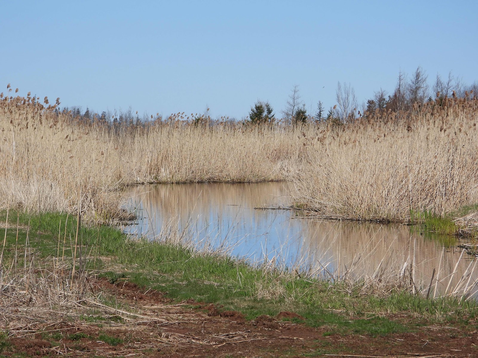


There were a number of Green-winged Teals in the area that day. 


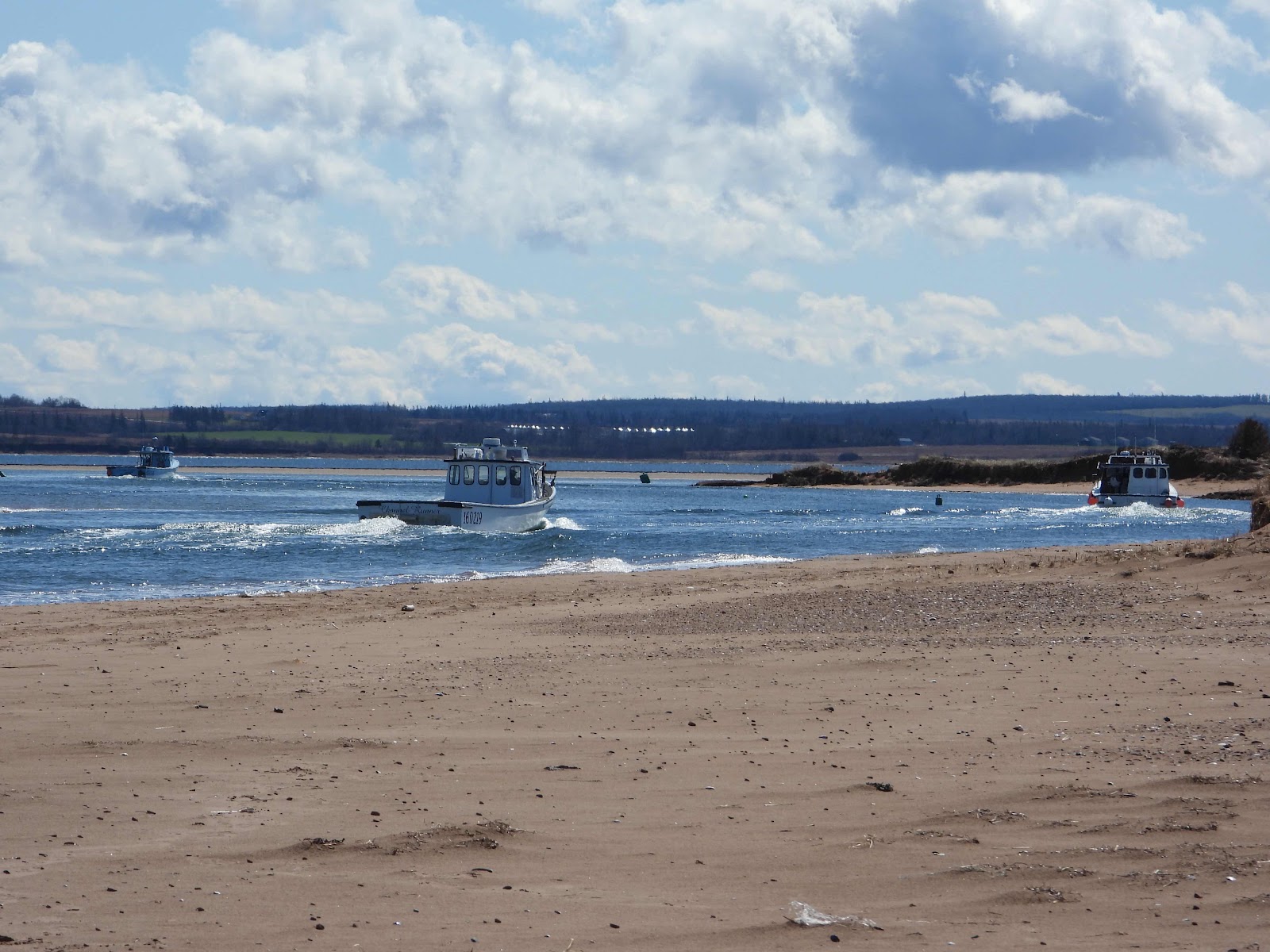
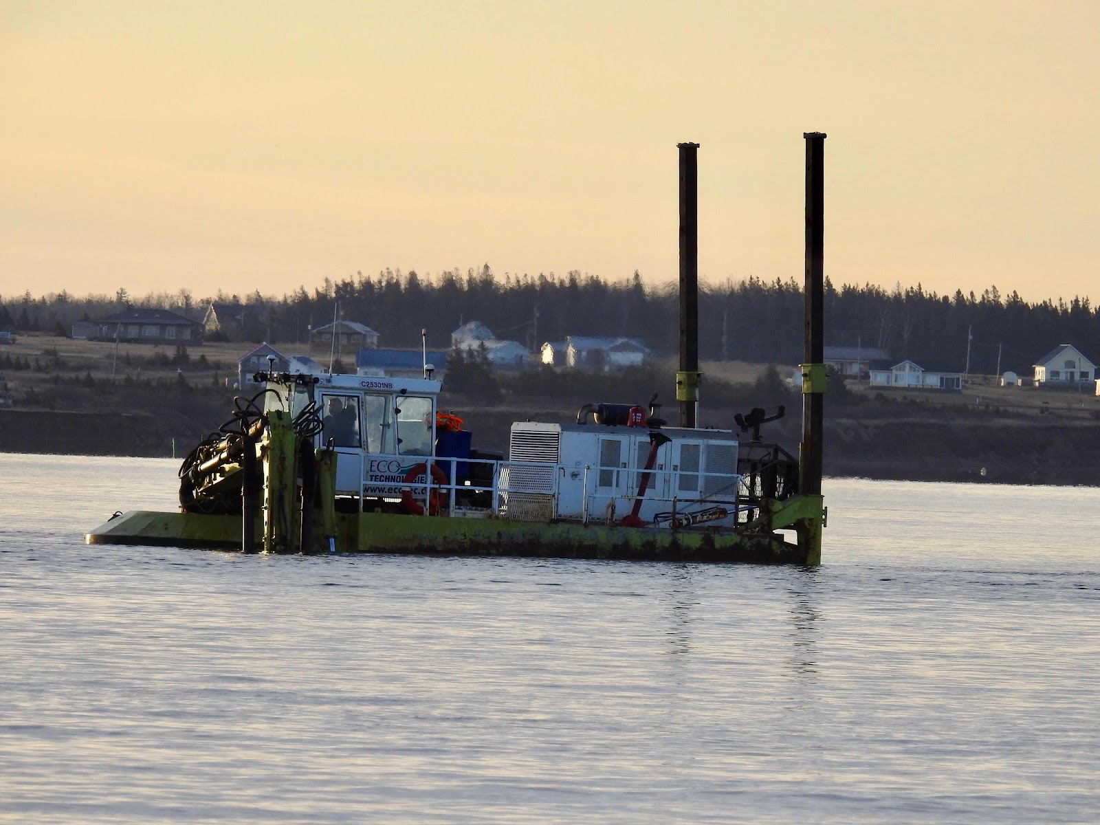
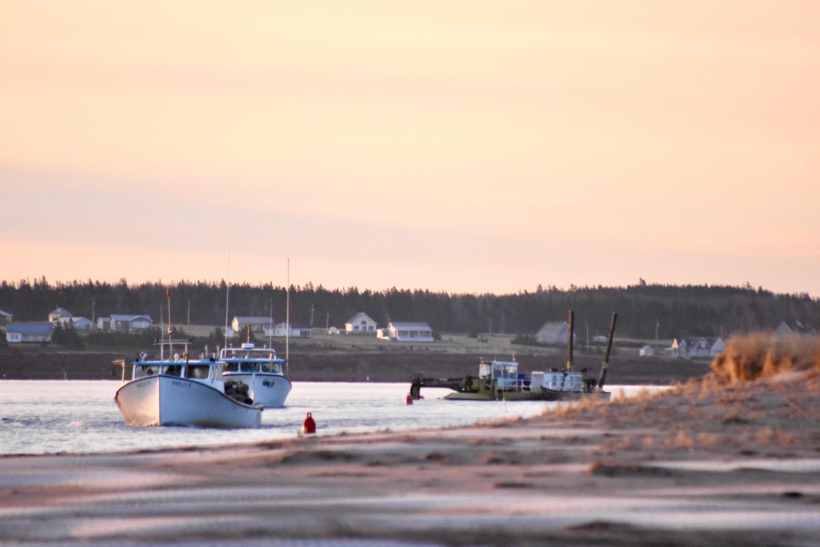
At Cabot Beach, work by a dredger on the channel to the harbour at Malpeque allows fishing boats to travel safely to port, mere metres from the beach. 


Further from the water, the sand and Marram grass make a beautiful backdrop for driftwood.


Early morning at Cavendish we encountered numerous hares, feeding and frolicking in the early morning sun. 


In addition, the Osprey were newly returned to the area and their nesting platform had been damaged in their absence. The pair perched in nearby trees and eventually one landed on the old platform. I wonder where they will nest this year?


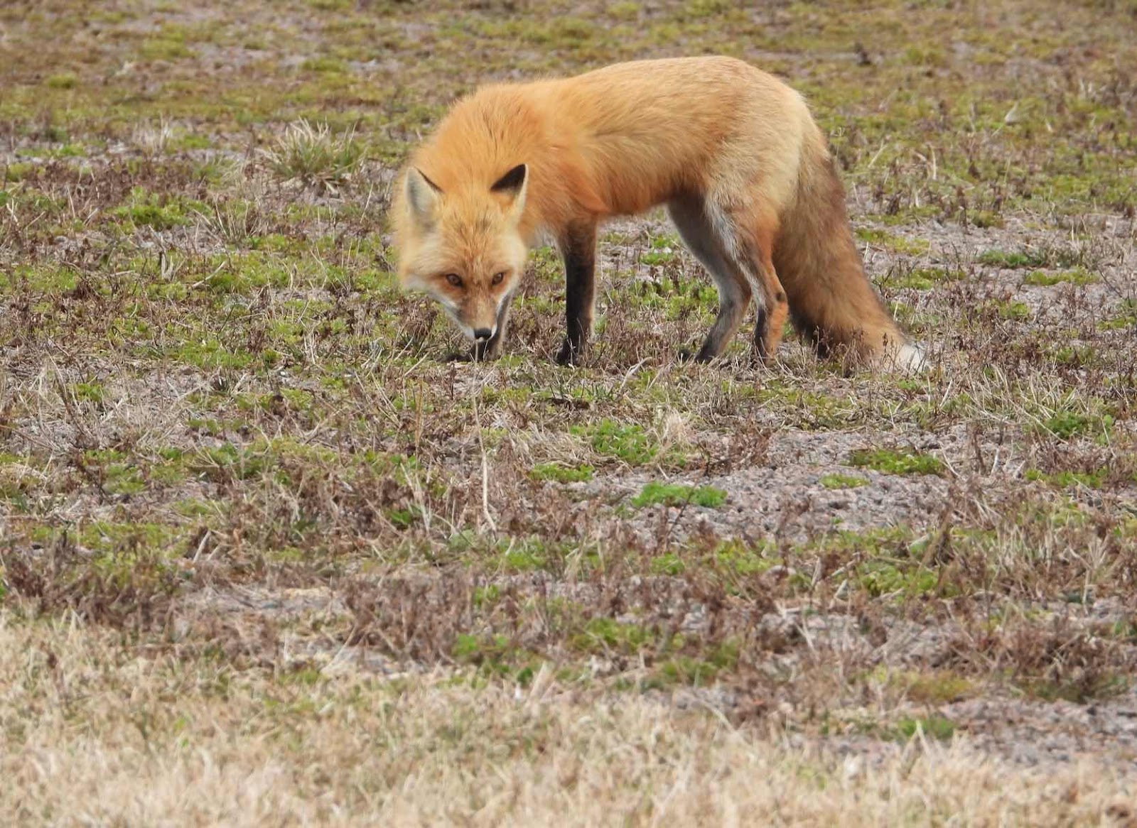
Along the boardwalk, on two consecutive days we saw the same Red Fox as it hunted. This time of year hungry kits must be fed. Before long they will be out with their mothers playing in the sun and we hope to see them one day.


Meanwhile, Black Ducks enjoy the salt marsh most days. This pair always hangs out together. 


When the wind is on-shore, gulls stand along the shoreline, looking along the bay. These two Herring Gulls kept a silent vigil.


It was a wonderful nature-filled week.


Tuesday, 7 January 2020

In the harbour

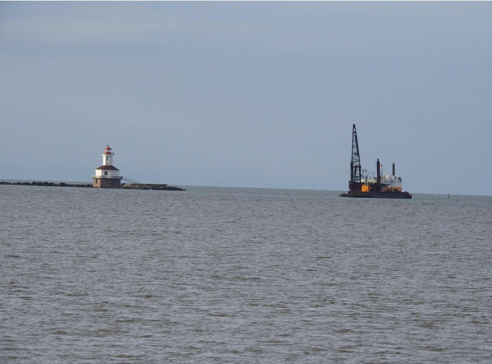
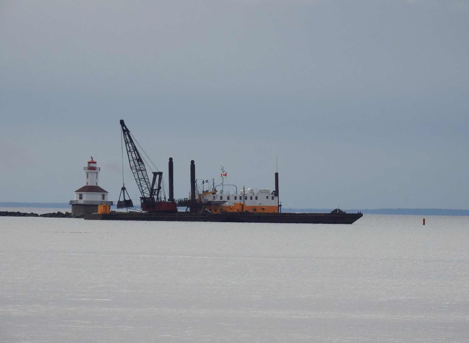
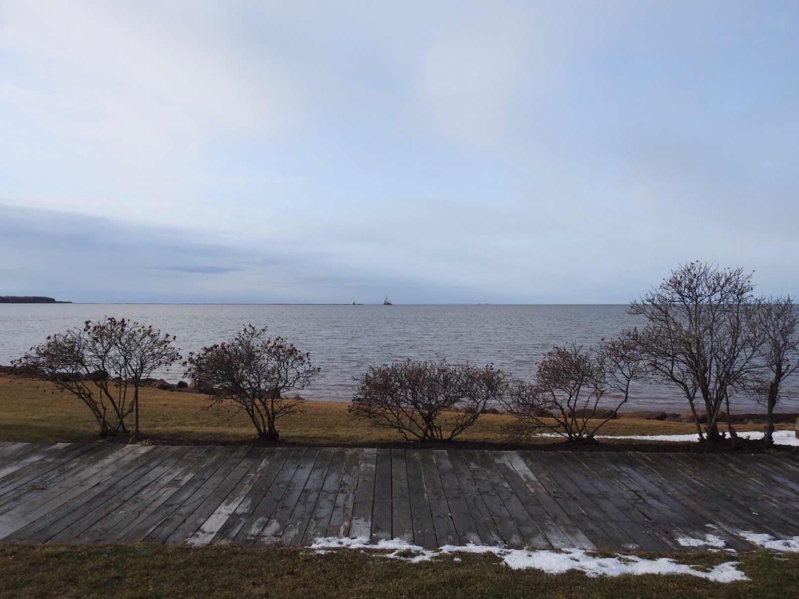
The harbour at Summerside hasn’t been dredged for a number of years and the process began this past November. There isn’t much boat traffic before the harbour freezes every year, so the dredge boat was an unusual sight. The dredger worked at different locations and when my husband and I photographed it one day, it was positioned near the Indian Head Lighthouse.


We took the first photos in the harbour looking out towards the lighthouse. The sun on the structure highlighted the repair work done over this past summer. 


From the inner harbour, you could see the dredge work on the channel wasn’t far from the lighthouse. 


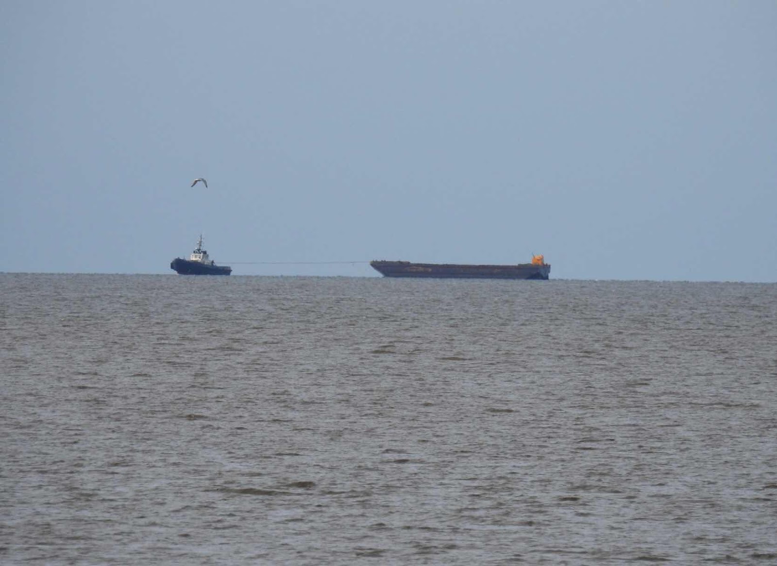
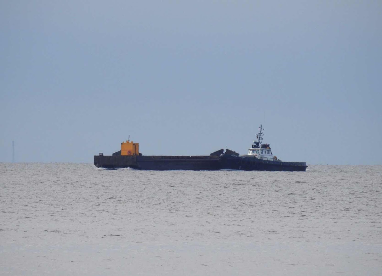
Zooming in on the activity off-shore in the Northumberland Strait revealed what I thought to be a tug boat with a barge.


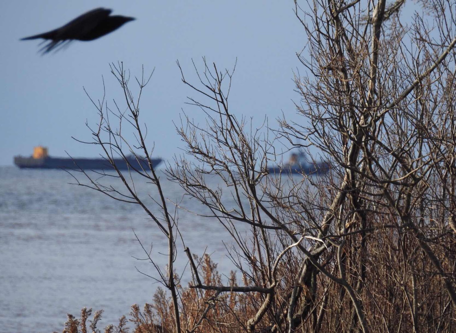
One of my favourite images of the two has a crow or raven in the shot as well.


I learned later a barge is pushed into place by a tow boat not a tug. The bow of the tow boat is constructed to allow it to make contact with the barge to manoeuvre it. Below you can see the tow boat pushing the barge.


The barge works in tandem with the dredger. Once the barge is manoeuvred in place, the crane on the dredge boat lifts the soil into the barge. Later it is towed off shore to be dumped.


The harbour will be able to accommodate small cruise ships following this work.


Wednesday, 8 May 2019

Out of the blue

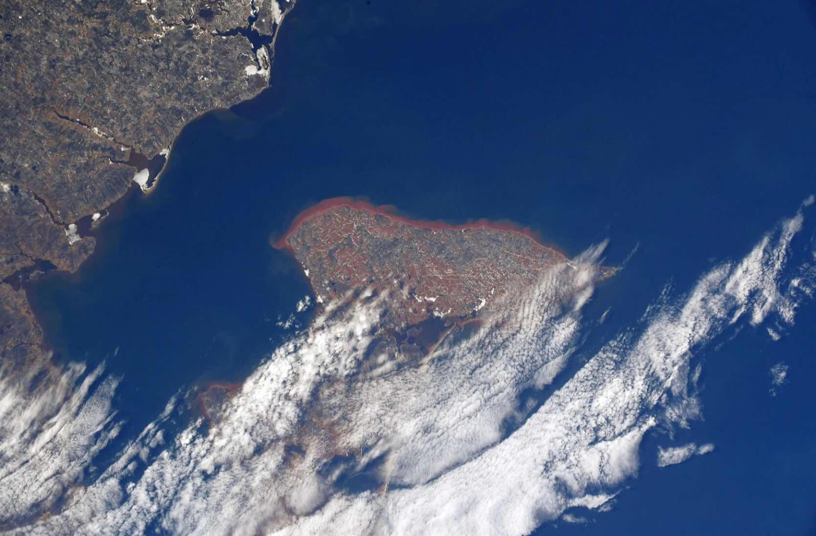
A NASA photo recently posted by Canadian astronaut, David St. Jacques, shows how the red soil and sand weep into the water around Prince Edward Island.


                     NASA photo

Fishers around the island see the results of this erosion every year as sandbars off-shore make travel in and out of ports hazardous.


Every year, dredgers work along the coast of the island to make it possible for mariners to safely navigate the coastal waters. One area with problems in recent years is at Malpeque. There, a sheltered harbour provides protection from the storms which lash the north shore of the island but the channel to the Gulf of St Lawrence, past Cabot Beach, must be dredged regularly. Last year, one vessel capsized on its return to port. While fishers survived the ordeal, the event highlighted the danger and the problem with erosion of the coastline.


This spring, prior to the start of the lobster season, a dredger started work on that channel. 


Work continued on Setting Day, the start of the lobster season. We could see the dredger from Cabot Beach and watched with interest as the lobster and mussel boats passed the dredger on their way through the channel.


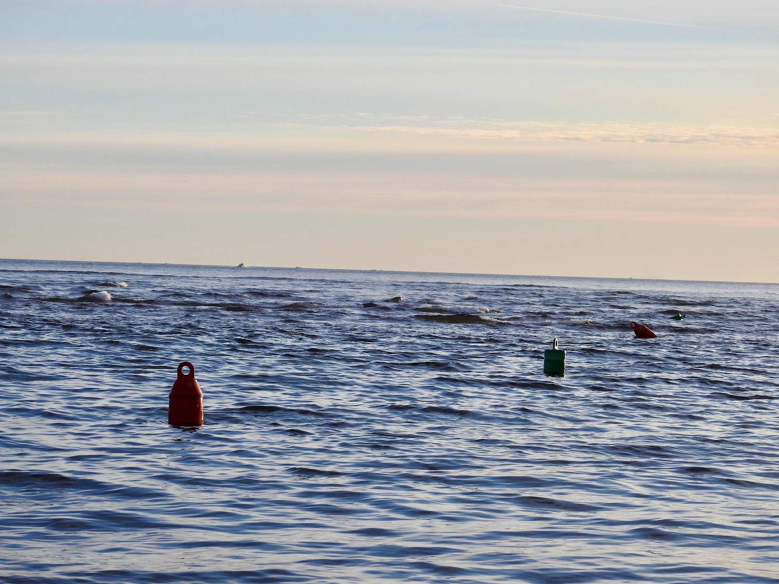
Boats kept between the red and green buoys which marked the channel. The boats were surprisingly close to shore, mere meters from the beach. Past the outside buoys, at high tide, 


you could see the shallow water, evidence of sand bars, which at low tide would be high and dry.


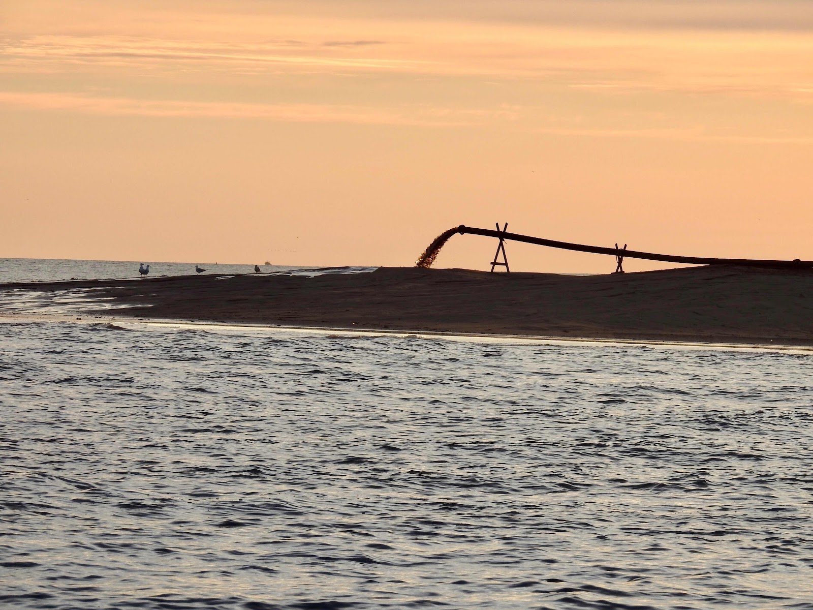
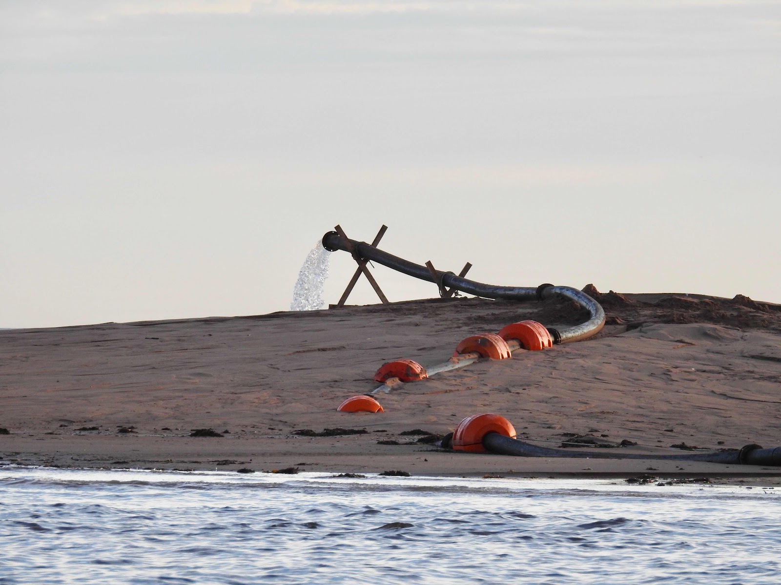
The dredger worked like a vacuum attached to an exhaust pipe from which water and sand poured. The pipe was long, emitting the sandy water on a nearby sandbar. 


Sometimes the water ran clear but within minutes, 


sandy water was emitted again. Always the opportunists, seagulls were camped out nearby to take advantage of any edibles which were dredged up and extruded. 


This is important work along the coastline of our province and we were interested to see the process in action.


Monday, 30 October 2017

St. George's Bay

The rocks and hills of Nova Scotia are a welcome sight to this transplanted Newfoundlander living in Prince Edward Island. While I love our little island home, it is flat and made of red soil and sandstone, so unlike Newfoundland. 


Long Point Lighthouse, Twillingate, Newfoundland 


I didn’t realize I missed the granite cliffs of home until our recent visit to Nova Scotia.


While there, with our friends, Carlo and Hiltrud, my husband and I followed the Sunrise Trail from Antigonish north along St. George’s Bay to Cape George. It was over a winding road through the forested countryside, rocky outcrops of granite and hills dressed in their autumn splendor. Beaches were rocky like many in Newfoundland, instead of sandy like PEI. 


Such a strange world to us now, but familiar to our bones.  


The area isn’t all farmland, like Prince Edward Island. Fishing is an important industry in this area as well. In Lakevale, dredging was underway in the channel from the lake to the bay.


while ducks swam nearby.


Further along the shoreline, Ballantyne’s Cove was a boat basin for pleasure craft and fishing boats. We walked the wharf 


and observed the area from a nearby hill. 


Finally we reached the Cape George lighthouse 


and the clear, sunny day enabled us to see Cape Breton across the bay. 


It is the island part of Nova Scotia attached to the mainland of the province by the Canso Causeway.


Nova Scotia feels and looks like Newfoundland more than Prince Edward Island does. Even though we have come to love our red island home, a visit to the land of our birth is overdue. Nova Scotia was a good teaser.